2 entries match your criteria.
Related Historical Markers
By Jay Kravetz, September 25, 2016
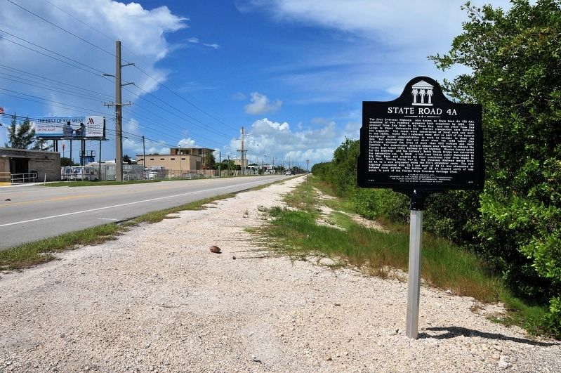
State Road 4A Marker
SHOWN IN SOURCE-SPECIFIED ORDER
| On Overseas Highway (U.S. 1) 0.2 miles south of Horace Street, on the right when traveling south. |
| | The first Overseas Highway, also known as State Road 4A (SR 4A), consisted of two roadway segments both completed by 1928. One spanned from Key West to No Name Key, and the other from Key Largo to Upper Matecumbe Key. Ferries transported cars . . . — — Map (db m107043) HM |
| On Oversea Highway (U.S. 1) 0.1 miles west of Drost Drive, on the right when traveling south. |
| | The first Overseas Highway, also known as State Road 4A (SR 4A), consisted of two roadway segments both completed by 1928. One spanned from Key West to No Name Key, and the other from Key Largo to Upper Matecumbe Key. Ferries transported cars . . . — — Map (db m127507) HM |
Jun. 15, 2024