
Cudjoe Key in Monroe County, Florida — The American South (South Atlantic)
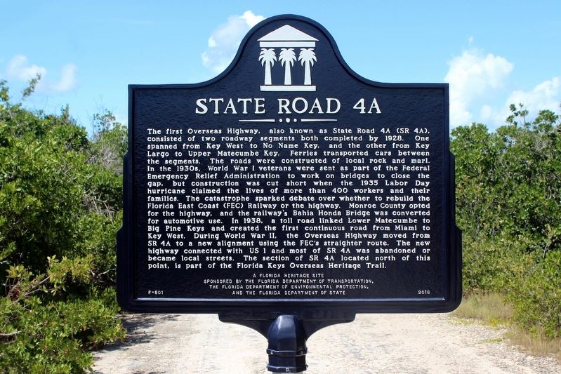
State Road 4A
Photographed by Tim Fillmon, September 18, 2018
1. State Road 4A Marker
this page online
Erected 2016 by Florida Department of Transportation, Florida Department of Environmental Protection and the Florida Department of State. (Marker Number F-901.)
Topics. This historical marker is listed in this topic list: Roads & Vehicles. A significant historical year for this entry is 1928.
Location. 24° 39.85′ N, 81° 30.521′ W. Marker is in Cudjoe Key, Florida, in Monroe County. It is on Oversea Highway (U.S. 1) 0.1 miles west of Drost Drive, on the right when traveling south. Located at the Northwest entrance of the trail. A duplicate marker can be found on Summerland Key. Touch for map. Marker is in this post office area: Summerland Key FL 33042, United States of America. Touch for directions.

Regionally, this marker is on the Florida Keys. It is also in the American South and on the Gulf Coast. Globally, it is in the North Atlantic Region, North America, a Gulf of Mexico state, the Western Hemisphere, the Western World, and the Anglosphere. Historically, it finds itself in what was once New Spain, the territory of the Mississippian
Photographed by Tim Fillmon, September 18, 2018
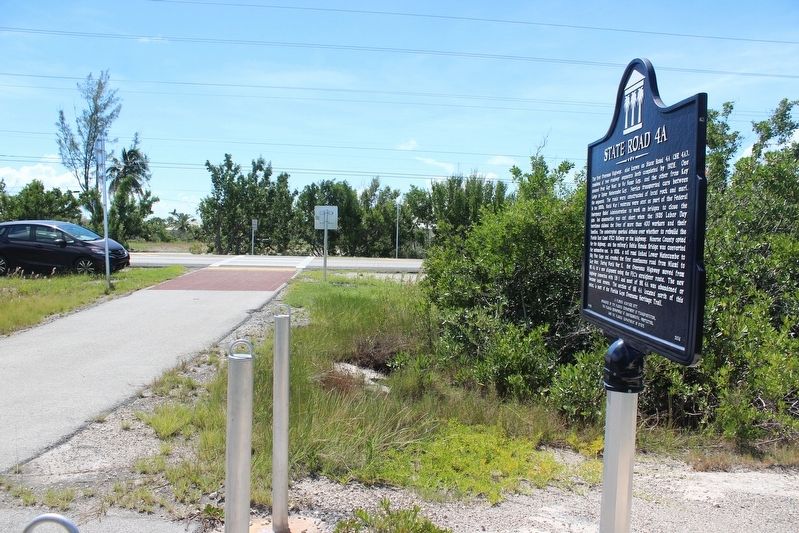
2. State Road 4A Marker and entrance to the Florida Keys Overseas Heritage Trail.
Other nearby markers. At least 2 other markers are within 9 miles of this marker, measured as the crow flies: A different marker also named State Road 4A (approx. 3.9 miles away); Blue Hole (approx. 8.6 miles away).
Related markers. Click here for a list of markers that are related to this marker.
Credits. This page was last revised on December 20, 2018. It was originally submitted on December 16, 2018, by Tim Fillmon of Webster, Florida. This page has been viewed 1,039 times since then and 65 times this year. Photos: 1, 2. submitted on December 16, 2018, by Tim Fillmon of Webster, Florida. • Bernard Fisher was the editor who published this page.
