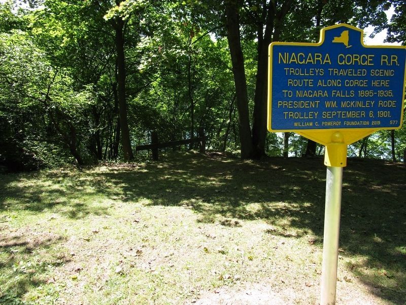
Near Discovery Way 0.2 miles north of Main Street (New York State Route 104). Reported missing.
The Great Gorge Route (1895-1935) once offered spectacular trolley rides through the Niagara Gorge. Initially, the route ran from Niagara Falls to Lewiston, NY. After the Lewiston-Queenston Suspension Bridge opened in 1899, however, the line . . . — — Map (db m75312) HM
Near South 4th Street 0.2 miles south of Tuscarora Street.
Located at the base of the Niagara Escarpment, the ravine known as the Gully provided a naturally sheltered docking area where the Niagara River flows out of the steep and unnavigable Niagara Gorge. From this docking area, the Gully provided access . . . — — Map (db m94983) HM
On Center Street (New York State Route 18F) at South 9th Street, on the right when traveling east on Center Street.
This tollhouse was part of the Lewiston-Queenston Suspension Bridge which spanned the Lower Niagara River at the foot of the Niagara Escarpment near today’s Artpark.
Historic Lewiston Bridge Linked U.S. with Canada
After the first . . . — — Map (db m189520) HM