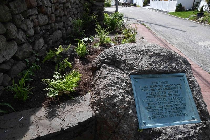
On Baker Street just west of Water Street, on the left when traveling west.
This tablet placed beside the gushing water known for many generations as Massasoit's Spring commemorates the great Indian Sachem Massasoit "friend of the White man" ruler of this region when the Pilgrims of the Mayflower landed at . . . — — Map (db m282074) HM
On Water Street south of Haile Street, on the left when traveling south.
The Sowams Heritage Area includes Barrington, Bristol, East Providence, Providence, and Warren RI, and Rehoboth, Seekonk and Swansea, MA. Sowams means "Southern Area” and was the historic home of the Pokanokets (later described as Wampanoags) . . . — — Map (db m296118) HM
On Wampanoag Trail (Rhode Island Route 114) at Kyle Circle, on the right when traveling north on Wampanoag Trail.
Osamequin Nature Preserve and Bird Sanctuary is named in honor of the Massasoit (Great Leader) Osamequin (or Ousamequin) of the Pokanoket Tribe. Osamequin, which means Yellow Feather, led his people in helping the settlers of the Plymouth Colony . . . — — Map (db m282075) HM
On Rumstick Road near between Rumstick Road and Rumstick Road, on the left when traveling west.
This Boulder Marks the site of Massasoit Spring and commemorates the great Indian sachem Massasoit, friend of the white man and chief of this region when the Pilgrims landed at Plymouth, 1620.
This tablet is placed in accordance with the . . . — — Map (db m290544) HM