THE HISTORICAL
MARKER DATABASE
“Bite-Size Bits of Local, National, and Global History”


3 entries match your criteria.  


Related Historical Markers

To better understand the relationship, study each marker in the order shown.
 
By G.W.Bartlett, May 10, 2026
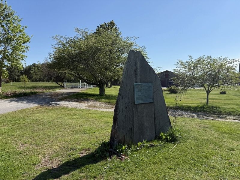
The First Baptist Church in Massachusetts Marker
SHOWN IN SOURCE-SPECIFIED ORDER
1 ► Rhode Island, Bristol County, Barrington — The First Baptist Church in Massachusetts —
On George Street 0.2 miles south of Warren Avenue, on the right when traveling east.
. . . — — Map (db m299486) HM
2 ► Massachusetts, Bristol County, Swansea, Gardner's Neck — HA-16;902 — Bourne Garrison King Philip's War —
On Gardners Neck Road at Milne Avenue, on the left when traveling south on Gardners Neck Road.
The Site of Bourne Garrison King Philip's War June - 1675 — — Map (db m289774) HM WM
3 ► Massachusetts, Bristol County, Swansea — King's Rock — Native American Ceremonial Site — Sachem's Knoll —
On Market Street (Massachusetts Route 136) south of Stoney Hill Road, on the right when traveling south.
King’s Rock, spanning 200 ft. along today’s Warren/Swansea border, was a significant location along the route and an important place for tribal gatherings under Metacom’s older brother, Wamsutta. Tribes from all over New England were known to have . . . — — Map (db m301437) HM


CeraNet Cloud Computing sponsors the Historical Marker Database.
This website earns income from purchases you make after using our links to Amazon.com. We appreciate your support.
Paid Advertisement
Nov. 11, 2026
