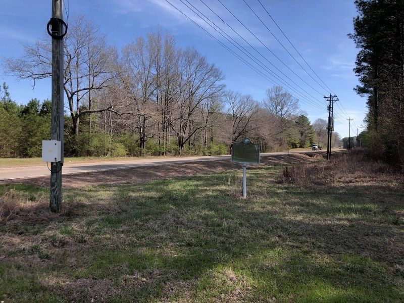
On State Highway 12 at Fentress-Panhandle Road, on the right when traveling east on State Highway 12.
On Yockanookany, 1/2 mi. S., was built in 1836 water mill of W.R. Coleman of Fairfield Co. S.C., first white settler after Choctaw cession in Treaty of Dancing Rabbit Creek. — — Map (db m51198) HM
On Natchez Trace Parkway (at milepost 140) at Red Dog Road, on the left when traveling north on Natchez Trace Parkway.
The road to your left, running to Canton, Mississippi, was opened in 1834 and named for Choctaw Indian Chief Ofahoma or Red Dog. Like other Choctaw, he had accepted the way of his European neighbors and had become a farmer.
Chief Ofahoma . . . — — Map (db m87488) HM
On Lafayette Street (U.S. 11) at Franklin Street, on the right when traveling south on Lafayette Street.
1736: First settlement by French at Ft. Tombecbee.
1830: U.S. got Choctaw Indian lands by Treaty of Dancing Rabbit Creek.
1832: County created by Act of State Legislature -- named for Gen. Thomas Sumter, "The Gamecock," South . . . — — Map (db m92663) HM
On Washington Street South at Franklin Street, on the right when traveling north on Washington Street South.
Side 1
Livingston, Alabama
Prior to the signing of the Treaty of Dancing Rabbit Creek on September 27, 1830, this site belonged to the Choctaw Nation. Early settlers to the area came from the Carolinas, Georgia, Tennessee, and . . . — — Map (db m92665) HM