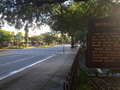
On Government Street (U.S. 98) at South Jackson Street, on the right when traveling west on Government Street.
This site marks the southwestern limit of the city of Mobile in 1711. Known then as Fort Louis de la Mobile, it had been founded by the French at 27-Mile Bluff in 1702 and moved to its present site in 1711.
Mobile has been a city under six . . . — — Map (db m131883) HM
On North Royal Street at St Michael Street, on the right when traveling north on North Royal Street.
When Mobile was laid out, this was the city's north-east boundary point.
Royal Street ran along a bluff overlooking the Mobile River. There were no streets between Royal and the river, only marshland. — — Map (db m86347) HM