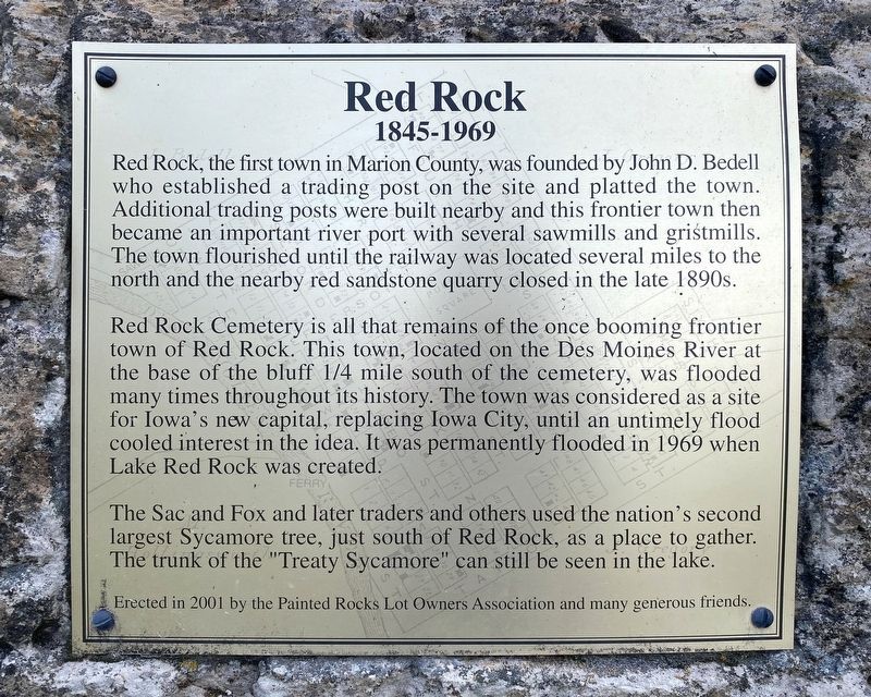
On Hickory Lane 0.5 miles south of Erbe Drive, on the left when traveling west.
Red Rock Line
The Red Rock Line was a boundary separating the Sac and Fox Indian tribes from the white settlers expanding westward. The survey of this line began near this monument, on the red sandstone bluffs north of the Des Moines River, . . . — — Map (db m236534) HM
On Highway G 40 (County Highway G40) at 115th Place, on the right when traveling west on Highway G 40.
crossed north to south near this point.
The line was established by treaty to define the separation between the Indian land and that opened to settlers. The line was patrolled by army dragoons from 1842-1845 to enforce the treaty. It ran north . . . — — Map (db m236536) HM
United Methodist
Historic Site
No. 323
In memory of the pioneers of the Belknap Settlement who served God faithfully in an untamed land — — Map (db m122508) HM
Thin black lines indicate changes in relevance. Between each pair of lines entries are ordered geographically but all have the same relevance.
* Inflectional forms of words are their plurals, singulars, and possessives as well as gramatical tenses and similar variations.