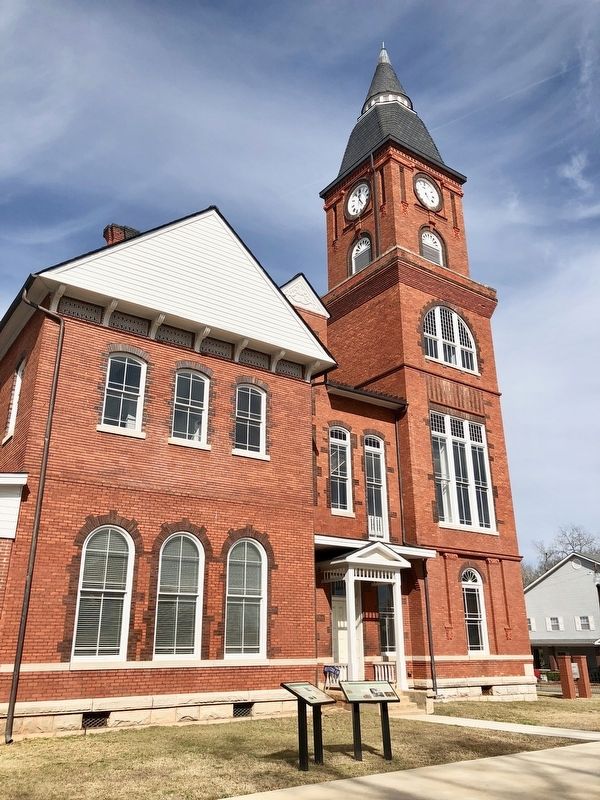
On Pine Street at Court Street, on the right when traveling west on Pine Street.
Early Randolph County
The area that is now Randolph County lies within the vast territory in Georgia and Alabama once claimed by the Creeks. In the late 1700s and early 1800s several small Creek towns were scattered throughout the area, . . . — — Map (db m113738) HM
On Pine Street at Court Street, on the right when traveling west on Pine Street.
Located within what had long been Creek territory and containing portions of well-used trails connecting the area with the Seminoles in Florida, Randolph County became an important scene of action during the Second Creek War (1836-38). The war came . . . — — Map (db m223533) HM
On Pearl Street (U.S. 82) 0.2 miles south of Bentley Road (State Route 41), on the left when traveling south.
Five miles NE is the Battleground of Echowanochaway Creek, site of the last engagement between Randolph County settlers and hostile Creek Indians on July 27, 1836. Captain Thomas Stapleton was killed in a preliminary fight the day before near . . . — — Map (db m113675) HM
Thin black lines indicate changes in relevance. Between each pair of lines entries are ordered geographically but all have the same relevance.
* Inflectional forms of words are their plurals, singulars, and possessives as well as gramatical tenses and similar variations.