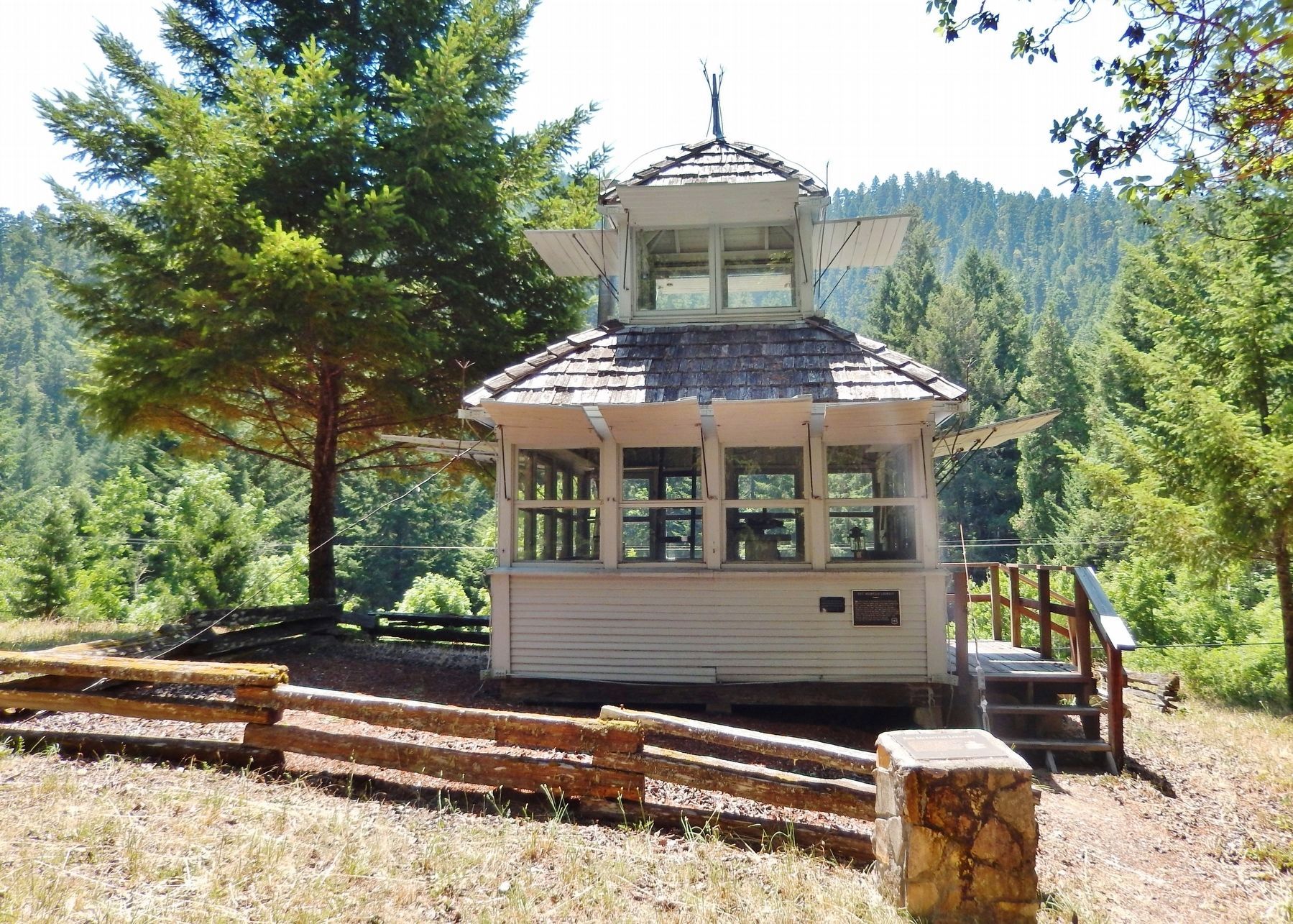
Near Tiller Trail Highway (Oregon Route 227) at Avery Berry Loop (Forest Road 1600), on the right when traveling north.
In 1921 the Forest Service began, using a lookout tree on the Red Mountain in the upper Cow Creek Valley to detect fires in the surrounding mountains and valleys.
The tree was replaced by a cupola style lookout in 1928. This building was moved . . . — — Map (db m113334) HM
Near Tiller Trail Highway (Oregon Route 227) at Avery Berry Loop (Forest Road 1600) when traveling north.
These buildings, constructed by the Civilian Conservation Corps (CCC) during the period between 1933 – 1942, are excellent examples of the Depression-era, rustic style of U.S. Forest Service structures.
The building in the upper left . . . — — Map (db m113336) HM