Marker Logo
THE HISTORICAL
MARKER DATABASE
“Bite-Size Bits of Local, National, and Global History”


2 entries match your criteria.  


Related Historical Markers

 
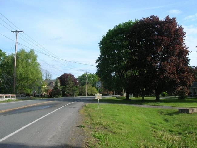
By Howard C. Ohlhous, May 24, 2008
Site of Middle Fort Marker along Route 30
SHOWN IN SOURCE-SPECIFIED ORDER
1 ► New York, Schoharie County, Middleburg — Site of Middle Fort —
On River Street (New York State Route 30), on the right when traveling north.
Site Of Middle Fort Fortified Aug. 13, 1777 To Protect Inhabitants During Invasion of Brant and Johnson — — Map (db m50630) HM
2 ► New York, Schoharie County, Middleburg — Site of Middle Fort — (Fort Defiance) —
On Middle Fort Street, on the right when traveling east.
• 1777• This Boulder Marks The Site East of Which Stood "The Middle Fort" (Fort Defiance) One Of The Bulwarks Of Defence Of The Settlers Of The Schoharie Valley During The Revolutionary Period Erected By Schoharie Chapter . . . — — Map (db m50599) HM



CeraNet Cloud Computing sponsors the Historical Marker Database.
This website earns income from purchases you make after using our links to Amazon.com. We appreciate your support.
Paid Advertisement
Nov. 19, 2026