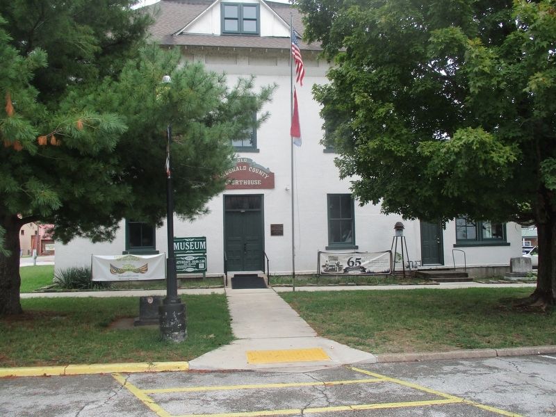
On Main Street north of 4th Street, on the right when traveling north.
McDonald County Courthouse
has been placed on the
National Register
of Historic Places
by the United States
Department of the Interior — — Map (db m312671) HM
On State Highway 59 0.5 miles south of Highway EE, on the left when traveling south.
McDonald County, 540 sq. miles of Ozark grandeur in Missouri’s extreme southwest, was called Seneca when it was formed in 1847. Fully organized in 1849, it was named for Rev. War soldier Alexander McDonald.
Pineville, the county seat, was . . . — — Map (db m99715) HM
On South Farm to Market 51 0.4 miles north of County Road 4196, on the right when traveling north.
In April 1893, Reverend Josephus Wesley Ford and wife,
James Alexander Ford and wife, Richard S. Ford and wife,
Jessie Garrison and wife and Sister Jessie L. Phillips organized
the New Salem Freewill Baptist Church southwest of . . . — — Map (db m309582) HM
Thin black lines indicate changes in relevance. Between each pair of lines entries are ordered geographically but all have the same relevance.
* Inflectional forms of words are their plurals, singulars, and possessives as well as gramatical tenses and similar variations.