2 entries match your criteria.
Related Historical Markers
By Cosmos Mariner, June 5, 2012
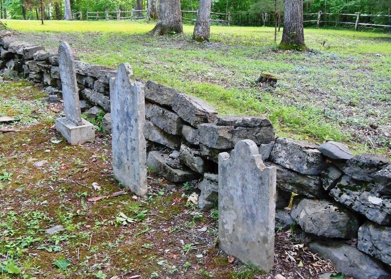
William & Jane Hart Howard Gravesites
SHOWN IN SOURCE-SPECIFIED ORDER
| 1 ► Kentucky, Monroe County, Tompkinsville — William & Jane Hart Howard — |
| Near Old Mulkey Park Road, 0.2 miles west of Old Mulkey Road (Corinth Church Road) (Kentucky Highway 1446), on the right when traveling west. | |||
| 2 ► Kentucky, Monroe County, Gamaliel — 1347 — Free-Town Church — |
| On Fountain Run Road (State Highway 100), on the left when traveling north. | |||