5 entries match your criteria.
Related Historical Markers
By Tom Bosse, May 13, 2022
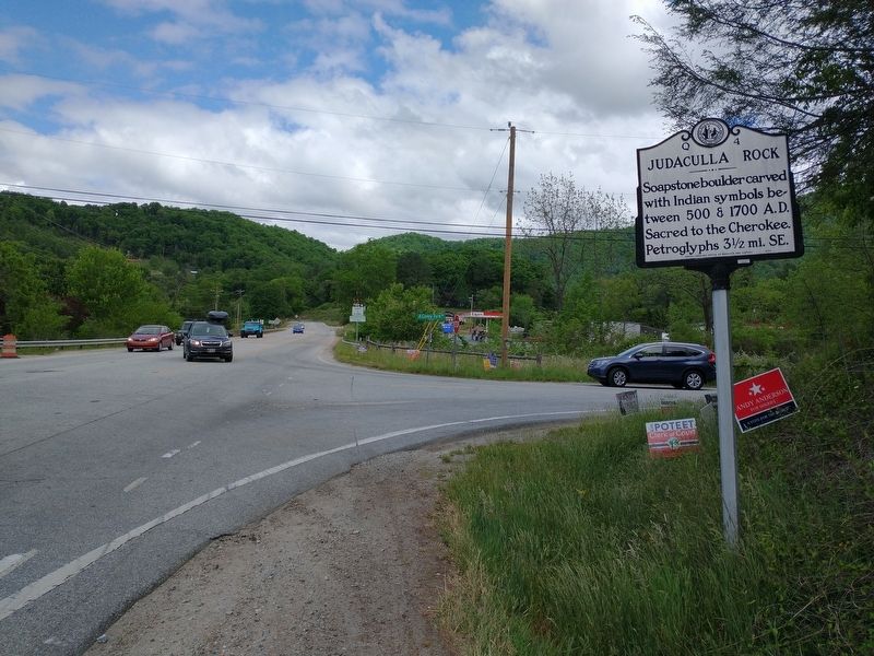
Judaculla Rock Marker
SHOWN IN SOURCE-SPECIFIED ORDER
| On State Highway 107 at Caney Fork Road (County Road 1737), on the left when traveling south on State Highway 107. |
| On Judaculla Rock Road (County Highway 1741) 0.5 miles east of Caney Fork Road (County Highway 1737), on the right when traveling south. |
| Near Judaculla Rock Road (County Highway 1741) 0.5 miles east of Caney Fork Road (County Highway 1737), on the right when traveling south. |
| Near Judaculla Rock Road (County Highway 1741) 0.5 miles east of Caney Fork Road (County Highway 1737), on the right when traveling south. |
| Near Judaculla Rock Road (County Highway 1741) 0.5 miles east of Caney Fork Road (County Highway 1737), on the right when traveling south. |
Jun. 15, 2024