East LaPort in Jackson County, North Carolina — The American South (South Atlantic)
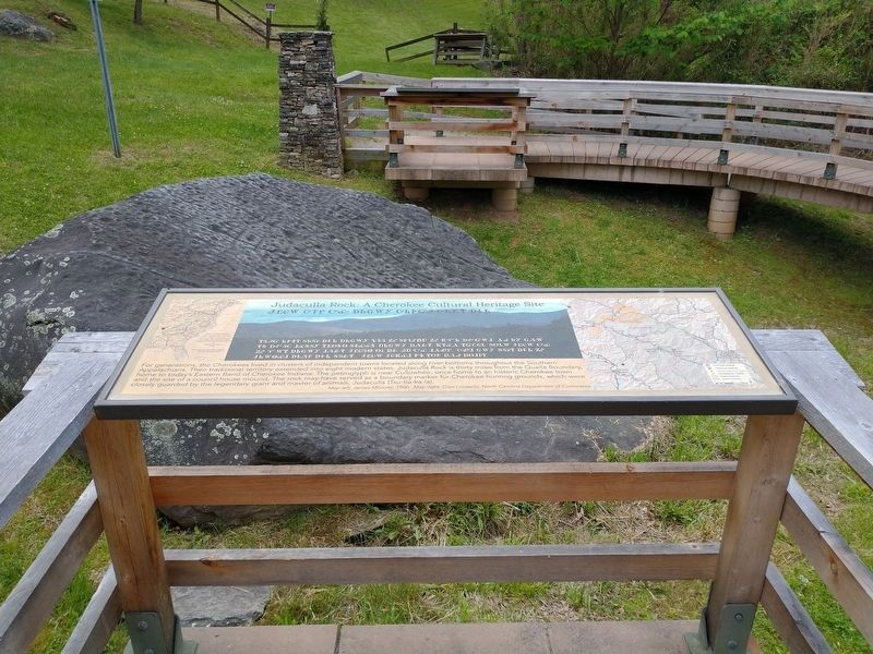
Judaculla Rock: A Cherokee Cultural Heritage Site
Photographed by Tom Bosse, May 13, 2022
1. Judaculla Rock: A Cherokee Cultural Heritage Site Marker
(caption) Map left: James Mooney, 1900. Map right: Glen Locasio, North Carolina Department of Commerce.
Topics. This historical marker is listed in these topic lists: Anthropology & Archaeology • Indigenous Peoples and Communities.
Location. 35° 18.077′ N, 83° 6.61′ W. Marker is in East LaPort, North Carolina, in Jackson County. It can be reached from Judaculla Rock Road (County Highway 1741) half a mile east of Caney Fork Road (County Highway 1737), on the right when traveling south.
this page online

Regionally, this marker is in North Carolina’s and he Mountains in the Golden Corner. It is also in the American South, specifically in the Upper South, in Appalachia, and specifically in Southern Appalachia. Globally, it is in North America, the Western Hemisphere, the Western World, and the Anglosphere. Historically, it finds itself in what was once the original Cherokee Nation, the territory of the Mississippian Culture, one of the original Thirteen Colonies, one of the Confederate States of America, and the Antebellum South.
Other nearby markers. At least 8 other markers are within 5 miles of this marker, measured as the crow flies: Who is Judaculla? (here, next to this marker); What do these markings tell us? (a few steps from this marker); Judaculla Rock Petroglyphs (within shouting distance of this marker); Judaculla Rock (approx. 2 miles away); Blackwood Lumber at East LaPorte (approx. 2.1 miles away); Aunt Sally (approx. 2.1 miles away); John R. Brinkley (approx.
Photographed by Tom Bosse, May 13, 2022
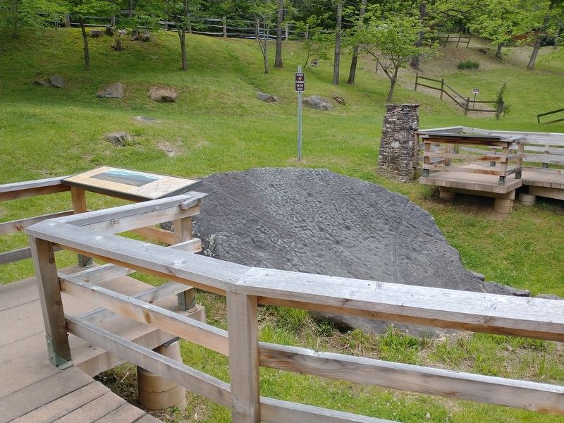
2. Judaculla Rock: A Cherokee Cultural Heritage Site Marker
Related markers. Click here for a list of markers that are related to this marker.
Photographed by Tom Bosse, May 13, 2022
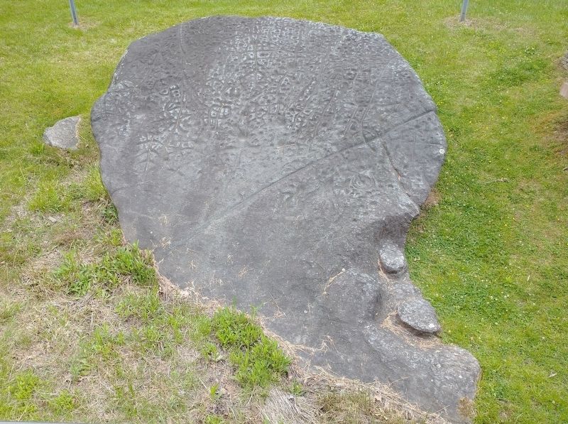
3. Judaculla Rock
Photographed by Tom Bosse, May 13, 2022
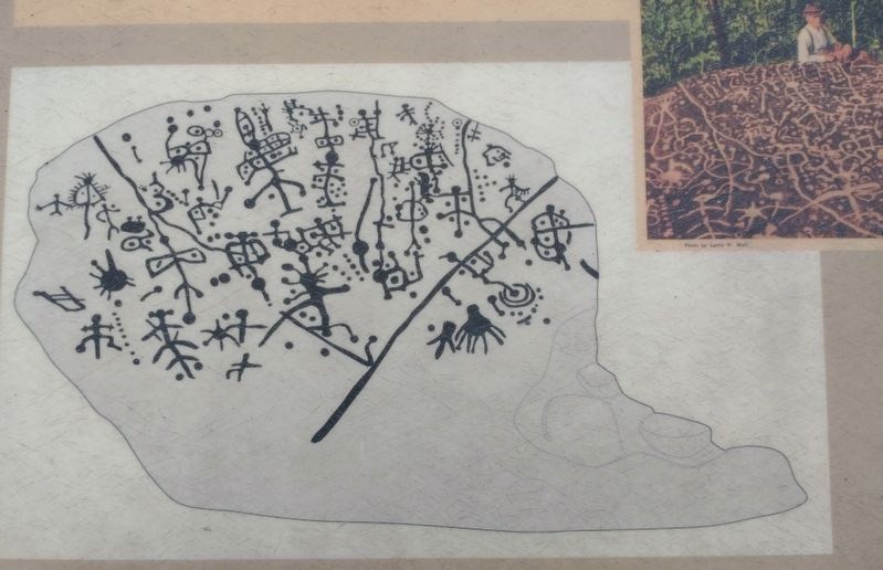
4. Judaculla Rock
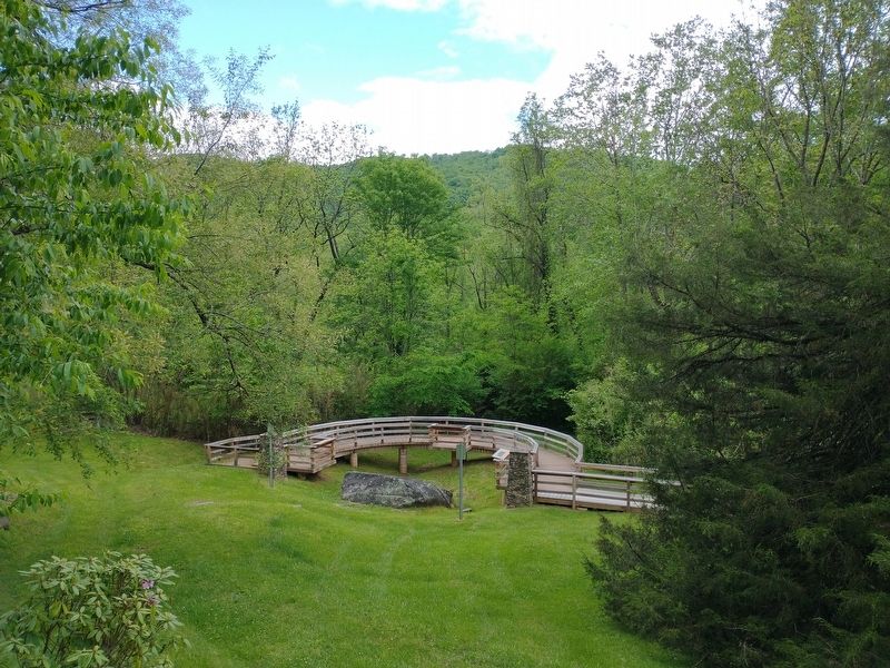
Photographed by Tom Bosse, May 13, 2022
5. Judaculla Rock
Credits. This page was last revised on May 16, 2022. It was originally submitted on May 16, 2022, by Tom Bosse of Jefferson City, Tennessee. This page has been viewed 468 times since then and 35 times this year. Photos: 1, 2, 3, 4, 5. submitted on May 16, 2022, by Tom Bosse of Jefferson City, Tennessee. • Bernard Fisher was the editor who published this page.
