2 entries match your criteria.
Related Historical Markers
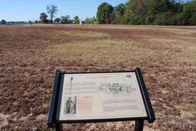
By Brandon Fletcher, October 8, 2010
Flight to Safety Marker
SHOWN IN SOURCE-SPECIFIED ORDER
1 ► Tennessee, Henderson County, Parkers Crossroads — Flight to Safety —  |
| Near Tennessee Route 22 0.6 miles north of Interstate 40, on the right when traveling north. | |||
| 2 ► Tennessee, Henderson County, Parkers Crossroads — The Battle of Parker's Crossroads — Tour Stop 4 — Jones Cemetery and the Old Dug Well — |
| On Wildersville Road (or Bluegrass Lane) 0.6 miles east of State Route 22, on the left when traveling east. | |||