THE HISTORICAL
MARKER DATABASE
“Bite-Size Bits of Local, National, and Global History”


8 entries match your criteria.  


Related Historical Markers

They are related to the Mitchelville Freedom Park Preservation Project.
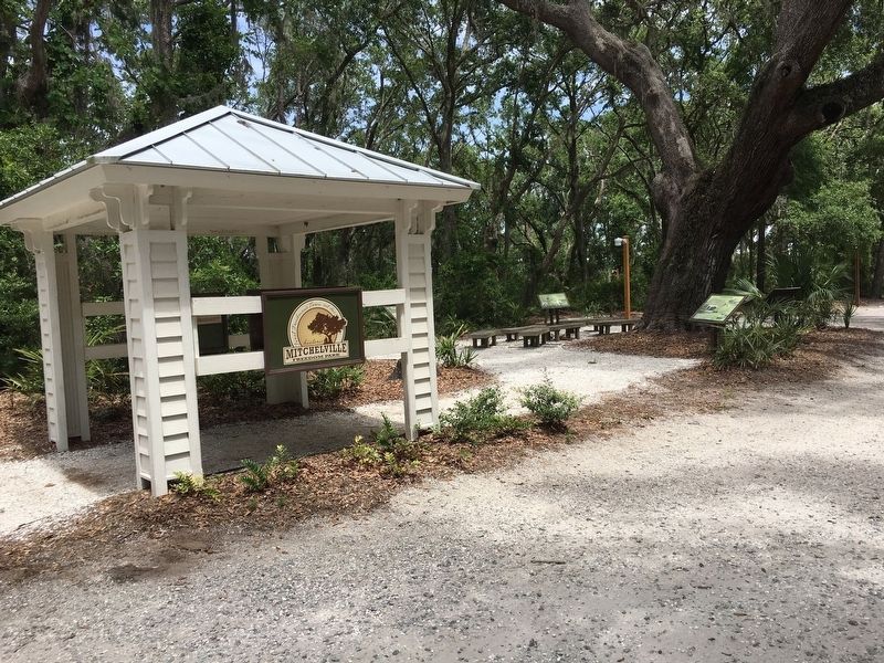
 
By Brandon D Cross, June 12, 2017
Mitchelville Freedom Park Pavilion
SHOWN IN SOURCE-SPECIFIED ORDER
1 ► South Carolina, Beaufort County, Hilton Head Island — Reconnecting with Family —
Near Beach City Road 0.4 miles Dillon Road, on the right when traveling north.
2 ► South Carolina, Beaufort County, Hilton Head Island — Religion in Mitchelville/School in Mitchelville —
Near Beach City Road 0.4 miles north of Dillon Road, on the right when traveling north.
3 ► South Carolina, Beaufort County, Hilton Head Island — Working for Wages / Freedmen’s Bureau —
Near Beach City Road 0.4 miles north of Dillon Road, on the right when traveling north.
4 ► South Carolina, Beaufort County, Hilton Head Island — Mitchelville and Abolitionists —
Near Beach City Road 0.4 miles Dillon Road, on the right when traveling north.
5 ► South Carolina, Beaufort County, Hilton Head Island — Mitchelville Building Sites —
Near Beach City Road 0.4 miles Dillon Road, on the right when traveling north.
6 ► South Carolina, Beaufort County, Hilton Head Island — Black Troops on Hilton Head —
Near Beach City Road 0.4 miles north of Dillon Road, on the right when traveling north.
7 ► South Carolina, Beaufort County, Hilton Head Island — The Battle of Port Royal / William Fitzhugh and Black Sailors in the Union Navy —
Near Beach City Road 0.4 miles north of Dillon Road, on the right when traveling north.
8 ► South Carolina, Beaufort County, Hilton Head Island — The Dawn of Freedom: Mitchelville —
Near Beach City Road 0.4 miles north of Dillon Road, on the right when traveling north.
 
 
CeraNet Cloud Computing sponsors the Historical Marker Database.
This website earns income from purchases you make after using our links to Amazon.com. We appreciate your support.
Paid Advertisement
Nov. 11, 2026
