3 entries match your criteria.
Related Historical Markers
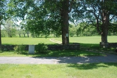
By Roger W. Sinnott, May 30, 2010
Wider View
SHOWN IN SOURCE-SPECIFIED ORDER
1 ► Massachusetts, Worcester County, Lancaster, South Lancaster — Site of Mary Rowlandson’s Capture —  |
| On Main Street (Massachusetts Route 70) north of Bigelow Gardens, on the left when traveling north. | |||
| 2 ► Massachusetts, Worcester County, Lancaster, South Lancaster — Rowlandson Rock — 1630 - 1930 — |
| On Main Street (Massachusetts Route 70) at Sterling Road, on the right when traveling south on Main Street. | |||
| 3 ► Massachusetts, Worcester County, Lancaster — Rowlandson Rock — |
| Near Winsor Road east of George Hill Road, on the left when traveling east. | |||