Ortonville in Big Stone County, Minnesota — The American Midwest (Upper Plains)
Geology of Minnesota
Ortonville Region
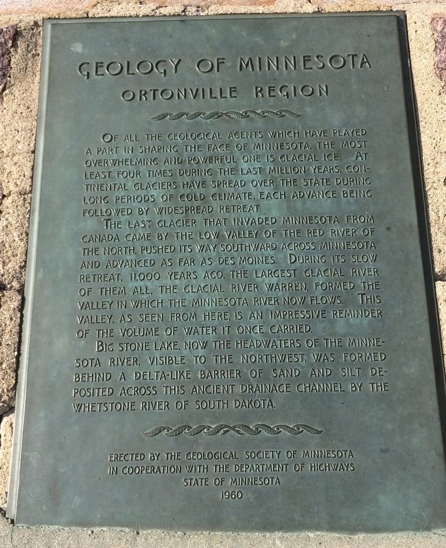
Of all the geological agents which have played a part in shaping the face of Minnesota, the most overwhelming and powerful one is glacial ice. At least four times during the last million years, continental glaciers have spread over the state during long periods of cold climate, each advance being followed by widespread retreat.
The last glacier that invaded Minnesota from Canada came by the low valley of the Red River of the north, pushed its way southward across Minnesota and advanced as far as Des Moines. During its slow retreat, 11,000 years ago, the largest glacial river of them all, the Glacial River Warren, formed the valley in which the Minnesota River now flows. This valley, as seen from here is an impressive reminder of the volume of water it once carried.
Big Stone Lake, now the headwaters of the Minnesota river, visible to the northwest, was formed behind a delta-like barrier of sand and silt deposit across this ancient drainage channel by the Whetstone River of South Dakota.
Erected 1960 by Geological Society of Minnesota in Cooperation with Department of Highways State of Minnesota.
Topics and series. This historical marker is listed in this topic list: Natural Features. In addition, it is included in the Minnesota: Geological Society of Minnesota series list.
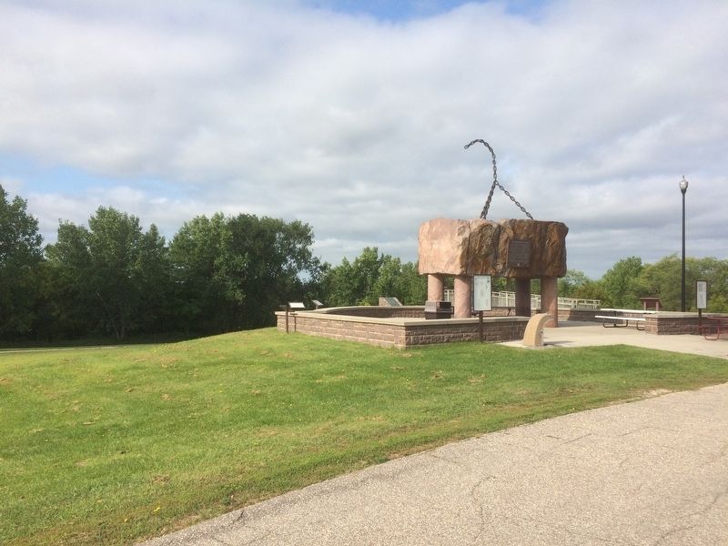
Location. 45° 17.812′ N, 96° 25.95′ W. Marker is in Ortonville, Minnesota, in Big Stone County. Marker can be reached from U.S. 12, 0.1 miles west of Route 75. Located near the Big Stone County Museum. Touch for map. Marker is in this post office area: Ortonville MN 56278, United States of America. Touch for directions.
Other nearby markers. At least 8 other markers are within 11 miles of this marker, measured as the crow flies. A Glacial Wall of Water (a few steps from this marker); Paul Bunyan's Boat-Anchor (a few steps from this marker); Big Stone County Courthouse (approx. 0.8 miles away); Ancient Exposed Rock (approx. 3.2 miles away); Welcome to Odessa (approx. 5˝ miles away); St. Pauli Lutheran Church (approx. 9 miles away); Grant County Veterans Memorial (approx. 10.7 miles away in South Dakota); American Legion Junior Baseball Monument (approx. 10.8 miles away in South Dakota). Touch for a list and map of all markers in Ortonville.
Related marker. Click here for another marker that is related to this marker.
Credits. This page was last revised on October 13, 2020. It was originally submitted on February 5, 2017, by Ruth VanSteenwyk of Aberdeen, South Dakota. This page has been viewed 571 times since then and 50 times this year. Last updated on February 12, 2017, by Ruth VanSteenwyk of Aberdeen, South Dakota. Photos: 1, 2. submitted on February 5, 2017, by Ruth VanSteenwyk of Aberdeen, South Dakota. • Bill Pfingsten was the editor who published this page.

