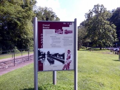
Canal Boats
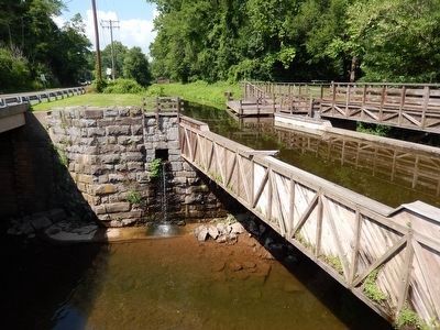
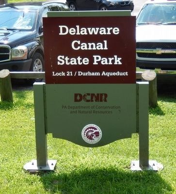
Delaware Canal Lock 21
Boatbuilding
American canal boats met standards as unique as their canals. Here, the preferred boat met Lehigh Coal and Navigation Company’s specifications of 87 ½ feet long, 10.5 feet wide and 7 ½ feet tall. The wooden “hinge” boats carried up to 100 tons of cargo.
Private boatyards built and repaired boats along the Delaware Canal at Uhlerstown, Erwinna, Upper Back Eddy, Point Pleasant, New Hope and Bristol. The major Company owned boatyards operated in Weissport and Laury’s Station on the Leigh Navigation.
Hinge Boats
Boat captains liked the flexibility of the “hinge boat” boat. They separated the two sections easily by removing center connecting pins. This boat effortlessly turned in the narrow Delaware Canal and handily hauled two types of freight. The two sections traveled on the inclined planes of New Jersey’s Morris Canal eliminating the need for load transfers.
Passing Rules
In 1833, rules established by the Canal Commissioners allowed the “light” (unloaded) boat the right of way when two boats met. The loaded boat steered to the side opposite the towpath and stopped their mules. The tow line sank to the canal bottom. The lighter boat, traveling higher in the water, passed over the line. Both then continued on their way. When boats approached
Erected by Friends of the Canal.
Topics and series. This historical marker is listed in this topic list: Waterways & Vessels. In addition, it is included in the Delaware Canal (AKA Delaware Division of the Pennsylvania Canal) series list. A significant historical year for this entry is 1833.
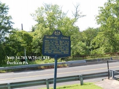
Location. 40° 34.783′ N, 75° 11.816′ W. Marker is near Kintnersville, Pennsylvania, in Bucks County. It is in Durham Township. Marker is at the intersection of Pennsylvania Route 611 and Durham Road on State Route 611. Touch for map. Marker is at or near this postal address: 1499 Easton Rd, Kintnersville PA 18930, United States of America. Touch for directions.
Other nearby markers. At least 8 other markers are within 2 miles of this marker, measured as the crow flies. Delaware Canal (here, next to this marker); Mt. Joy (approx. 0.9 miles away in New Jersey); Riegelsville (approx. one mile away); Mid-Atlantic Highlands (approx. one mile away); Riegelsville Roebling Bridge (approx. one mile away); Riegelsville Civil War Memorial (approx. 1.1 miles away); The Riegelsville Academy and Public Library (approx. 1.2 miles away); Riegelsville Historic District (approx. 1.2 miles away in New Jersey).
Related marker. Click here for another marker that is related to this marker. An identical marker
Credits. This page was last revised on February 7, 2023. It was originally submitted on August 4, 2015, by Don Morfe of Baltimore, Maryland. This page has been viewed 419 times since then and 28 times this year. Photos: 1, 2, 3, 4, 5, 6. submitted on August 4, 2015, by Don Morfe of Baltimore, Maryland. • Bill Pfingsten was the editor who published this page.
