2 entries match your criteria.
Related Historical Markers
By Cosmos Mariner, May 21, 2014
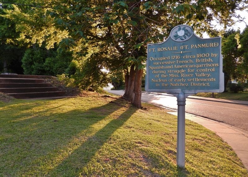
Ft. Rosalie (Ft. Panmure) Marker (wide view; looking west; D A Biglane Street in background)
SHOWN IN SOURCE-SPECIFIED ORDER
| 1 ► Mississippi, Adams County, Natchez — Ft. Rosalie (Ft. Panmure) — |
| Occupied 1716-circa 1800 by successive French, British, Spanish and American garrisons during struggle for control of the Miss. River Valley. Nucleus of early settlements in the Natchez District. Mississippi Department of Archives and . . . — — Map (db m126797) HM | |||
| 2 ► Mississippi, Adams County, Natchez — Fort Rosalie — |
| On bluff to south stood Ft. Rosalie, established by the French in 1716. Became nucleus of settlements from which the Miss. Territory was founded. Near this marker stood the French warehouse that was a center of bloodshed during the Natchez Massacre . . . — — Map (db m126870) HM | |||