Natchez in Adams County, Mississippi — The American South (East South Central)
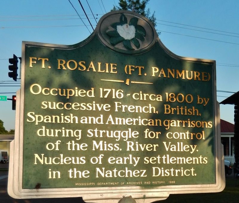
Ft. Rosalie (Ft. Panmure)
Erected 1988 by Mississippi Department of Archives and History.
Topics and series. This historical marker is listed in these topic lists: Colonial Era • Forts and Castles • Settlements & Settlers. In addition, it is included in the Mississippi State Historical Marker Program series list. A significant historical year for this entry is 1716.
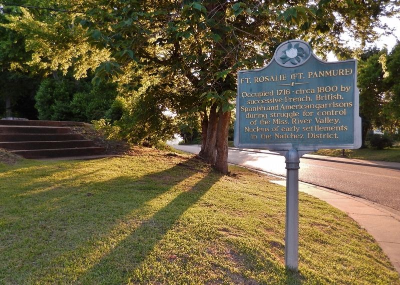
Location. 31° 33.502′ N, 91° 24.514′ W. Marker is in Natchez, Mississippi, in Adams County. Marker is at the intersection of D A Biglane Street and South Canal Street, on the right when traveling east on D A Biglane Street. Marker is located beside the sidewalk, near the southwest corner of the intersection. Touch for map. Marker is in this post office area: Natchez MS 39120, United States of America. Touch for directions.
Other nearby markers. At least 8 other markers are within walking distance of this marker. Fort Rosalie Revisited (a few steps from this marker); Bernardo de Gálvez (within shouting distance of this marker); A Canal Street Neighborhood (within shouting distance of this marker); Fort Rosalie (about 500 feet away, measured in a direct line); Rosalie Cemetery (about 500 feet away); The Parsonage (about 600 feet away); Intersection of South Broadway and Washington streets (about 700 feet away); The Spanish Lay Out a Permanent Town (about 800 feet away). Touch for a list and map of all markers in Natchez.
Related markers. Click here for a list of markers that are related to this marker. Fort Rosalie
Also see . . . Early Natchez: Fort Rosalie/Panmure. This sketch shows Fort Panmure, formerly Fort Rosalie, which was constructed on the site of present day Natchez by Lieutenant Governor Bienville in the early 1700s. At that time, the French ruled the Mississippi-Louisiana area. The fort was renamed in the 1760s during British rule of the colony. In 1797, the date of this sketch, Natchez was under Spanish rule. (Submitted on November 28, 2018, by Cosmos Mariner of Cape Canaveral, Florida.)
Credits. This page was last revised on November 28, 2018. It was originally submitted on November 26, 2018, by Cosmos Mariner of Cape Canaveral, Florida. This page has been viewed 379 times since then and 47 times this year. Photos: 1, 2. submitted on November 28, 2018, by Cosmos Mariner of Cape Canaveral, Florida. • Andrew Ruppenstein was the editor who published this page.

