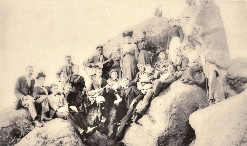
By the mid-1800s, the village of Mons, which is Latin for mountain, had grown up around the Peaks of Otter. There was a church, a school, two mills, and a hotel. The small community provided services to tourists who had discovered the Peaks of Otter . . . — — Map (db m134491) HM
Straight ahead are SharpTop Mountain and Flat Top Mountain. They are two of the three prominent summits that surround the Peaks of Otter area, approximately 6.5 miles distant. No one knows for certain why the area is called the Peaks of Otter. The . . . — — Map (db m95955) HM
Built in the early 1800's, this simple mountain cabin was operated as an inn, or "ordinary", from about 1830 until about 1850. Here the widowed Polly Woods catered to the "ordinary" needs of the weary mountain traveler -- a hot meal, a comfortable . . . — — Map (db m9655) HM
The first resident landscape architect and planner of the Blue Ridge Parkway. It was his vision, imagination, and creative talents in the Parkway's formative stages that made the Blue Ridge Parkway unique. — — Map (db m9743) HM