2 entries match your criteria.
Related Historical Markers
Twin markers located in Indiana of whose locations show the scope of this treaty area.

By Christopher Light, May 27, 2007
View of Tippicanoe River Valley (westward looking)
SHOWN IN SOURCE-SPECIFIED ORDER
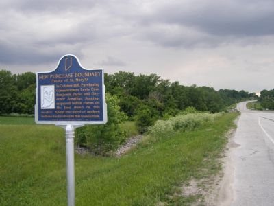
| | In October 1818, Purchasing Commissioners Lewis Cass, Benjamin Parke and Governor Johnathan Jennings acquired Indian claims on the land shown on this marker. About one-third of modern Indiana was involved in this transaction. — — Map (db m1152) HM |
| | In October 1818, Purchasing Commissioners Lewis Cass, Benjamin Parke and Governor Jonathan Jennings acquired Indian claims on the land shown on this marker. About one-third of modern Indiana, was involved in this transaction. — — Map (db m21517) HM |
Apr. 26, 2024
