Near Fowler in Benton County, Indiana — The American Midwest (Great Lakes)
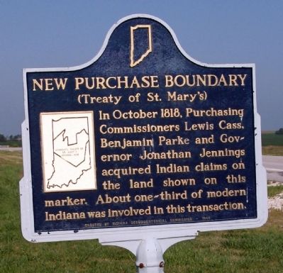
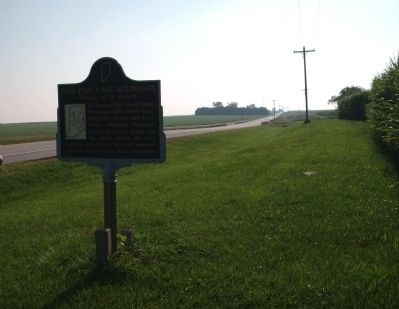
New Purchase Boundary
(Treaty of St. Mary's)
Photographed by Al Wolf, August 9, 2009
1. New Purchase Boundary Marker
In October 1818, Purchasing Commissioners Lewis Cass, Benjamin Parke and Governor Jonathan Jennings acquired Indian claims on the land shown on this marker. About one-third of modern Indiana, was involved in this transaction.
Erected 1966 by Indiana Sesquicentennial Commission. (Marker Number 04.1966.1.)
Topics and series. This historical marker is listed in these topic lists: Government & Politics • Indigenous Peoples and Communities • Peace • Political Subdivisions. In addition, it is included in the Indiana Historical Bureau Markers series list. A significant historical month for this entry is October 1818.
Location. 40° 37.331′ N, 87° 22.159′ W. Marker is near Fowler, Indiana, in Benton County. It is on State Road 18 west of County Road N200W, on the right when traveling east. Touch for map. Marker is in this post office area: Fowler IN 47944, United States of America. Touch for directions.

Regionally, this marker is in the Wabash Valley. It is also in the American Midwest and in the Corn Belt. Globally, it is in North America, the Western Hemisphere, the Western World, and the Anglosphere. Historically,
this page online
Other nearby markers. At least 8 other markers are within 10 miles of this marker, measured as the crow flies: Fraser & Isham Law Office (approx. 2.6 miles away); Vincent and Eileen Schwartz Parking Lot (approx. 2.6 miles away); Benton County Courthouse (approx. 2.9 miles away); Benton County American Revolution Memorial (approx. 2.9 miles away); Benton County Veterans Memorial (approx. 2.9 miles away); Indian Boundary Line (approx. 3.1 miles away); Benton County Wind Corridor Kiosk (approx. 3.2 miles away); Lest We Not Forget (approx. 9½ miles away). Touch for a list and map of all markers in Fowler.
Related markers. Click here for a list of markers that are related to this marker. Twin markers located in Indiana of whose locations show the scope of this treaty area.
Also see . . .
1. Treaty of St. Mary's. Indiana State Library website entry (Submitted on September 13, 2024, by Larry Gertner of New York, New York.)
2. Indian Affairs: Laws and Treaties. Oklahoma State University website entry:
A
Photographed by Al Wolf, August 9, 2009
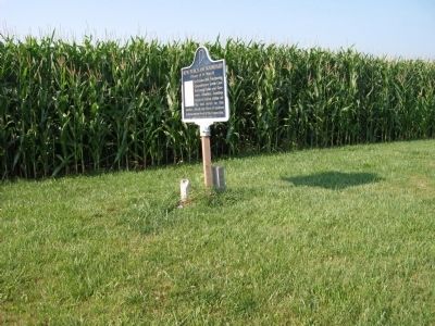
2. Looking South - - New Purchase Boundary Marker
Photographed by Al Wolf, August 9, 2009
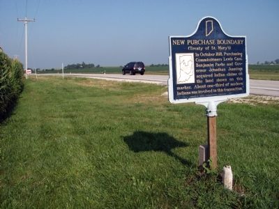
3. Looking West - - New Purchase Boundary Marker
Photographed by Al Wolf, August 9, 2009
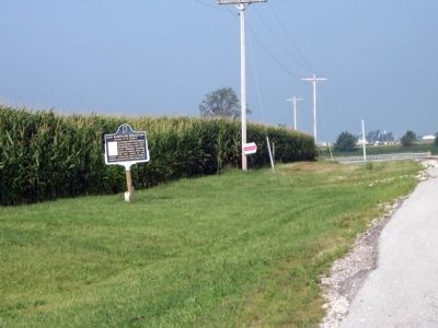
4. Other View - - New Purchase Boundary Marker
Photographed by Al Wolf, August 9, 2009
5. Looking East - - New Purchase Boundary Marker
Credits. This page was last revised on September 13, 2024. It was originally submitted on August 10, 2009, by Al Wolf of Veedersburg, Indiana. This page has been viewed 1,761 times since then and 33 times this year. Photos: 1, 2, 3, 4, 5. submitted on August 10, 2009, by Al Wolf of Veedersburg, Indiana. • Syd Whittle was the editor who published this page.
