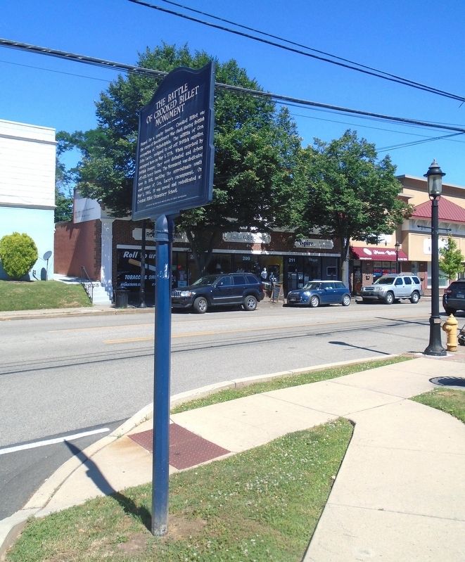
Named for a nearby tavern, Crooked Billet was
the scene of Revolutionary War clash during British
occupation of Philadelphia. The militia of Gen.
John Lacey, assigned to cut off British supplies,
encamped here on May 1, 1778. When surprised . . . — — Map (db m248522) HM WM
The Battle of the Crooked Billet
was fought around this spot
May 1, 1778.
General John Lacey's Command of 400 Officers
and men stationed at The Crooked Billet (now
Hatboro) were attacked by a detachment of
800 men of British Cavalry and . . . — — Map (db m41508) HM
Named for a nearby tavern, Crooked Billet was
the scene of Revolutionary War clash during British
occupation of Philadelphia. The militia of Gen.
John Lacey, assigned to cut off British supplies,
encamped here on May 1, 1778. When surprised . . . — — Map (db m248522) HM WM
John Dawson, Hatter from London, England, built this house,
probably the first of stone in the community, and here followed
his trade which gave Hatborough its name.
Later it became a tavern or "stage house"
on the Philadelphia-New York . . . — — Map (db m267744) HM