7 entries match your criteria.
Related Historical Markers
Adams Morgan Heritage Trail markers that have been entered in the Historical Marker database.
By Richard E. Miller, March 7, 2009
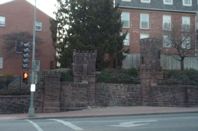
Brownstone walls of Beekman Place at 16th St. and Florida Ave.
SHOWN IN SOURCE-SPECIFIED ORDER
| |
As you look up the hill, you can see Peter C. L’Enfant’s 1791 plan for Washington ended up here in front of you at Boundary Avenue, now Florida Avenue. Back then, when people walked or rode in horse-drawn vehicles, it was hard to climb this . . . — — Map (db m130707) HM |
| | Long before Europeans arrived, Meridian Hill was a sacred place for Native Americans. As recently as 1992, a delegation of Native Americans walked across the continent to this park to mourn the 500th anniversary of Columbus’s arrival. They were . . . — — Map (db m130706) HM |
| |
In 1947, the building on your left opened as the National Arena, a public roller rink and bowling alley. It also hosted professional wrestling, roller derbies, and rock concerts. In 1986 it became the Citadel Motion Picture Center, where . . . — — Map (db m130710) HM |
| | During the Civil War (1861-1865), the Union Army Carver Hospital and barracks occupied Meridian Hill. The facilities attracted African American freedom seekers looking for protection and employment. By war’s end, a Black community had put down . . . — — Map (db m130705) HM |
| |
Three dramatic religious structures dominate this corner. They are among some 40 religious institutions lining 16th Street between the White House and the Maryland state line.
Many serve as unofficial “embassies” representing the . . . — — Map (db m152206) HM |
| |
This is the heart of Washington’s Latino community. Once centered here and in nearby Mount Pleasant and Columbia Heights, the community now extends throughout the region.
As early as the 1910s, the Mexican, Ecuadoran, Cuban, and Spanish . . . — — Map (db m130709) HM |
| |
Banker Archibald McLachlen and Smithsonian Institution naturalist George Brown Goode developed Lanier Heights in the early 1890s. Goode laid out streets and encouraged Smithsonian colleagues to purchase lots. McLachlan built the elegant . . . — — Map (db m130704) HM |
Apr. 25, 2024