Clarksville, located along the banks of the Cumberland River, was established by John Montgomery and Martin Armstrong in 1784, before Tennessee became a state. It was governed by the Clarksville Compact of 1784 and named for General George Rogers . . . — — Map (db m169076) HM
A new Courthouse of greater size was necessary to meet the demands of a growing community. In 1805 Martin Armstrong deeded a town lot at the north end of the Public Square (lot 60) to commissioners Hayden Wells, Robert Dunning, George . . . — — Map (db m169078) HM
On January 4, 1841, Commissioners John H. Poston, G. A. Henry, H. F. Beaumont, James McClure, James Reasons, Joseph Johnson, and Thomas W. Frazier were authorized to purchase a lot and contract for the building of the county's third Courthouse. On . . . — — Map (db m169079) HM
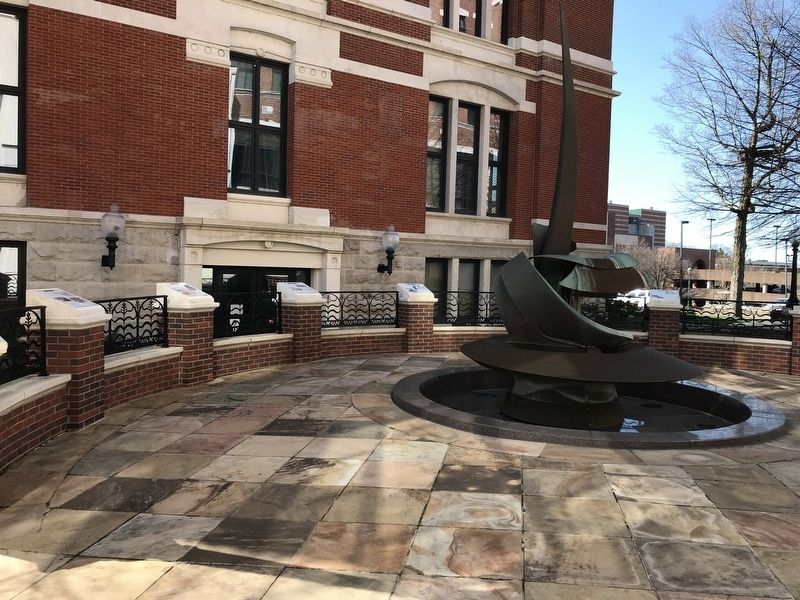
The present day Courthouse, the county's fourth, was designed by G. W. Bunting of Indianapolis; however, C. G. Rosenplanter was appointed supervising architect soon after the plan was adopted. It was he who supervised the work to completion by the . . . — — Map (db m169080) HM
Yet again history was repeated when fire damaged the County's Courthouse on March 12, 1900. The upper floor of the 1879 building was destroyed and fell through to the first floor. The fire was believed to have started in the southeast section of the . . . — — Map (db m169084) HM