THE HISTORICAL
MARKER DATABASE
“Bite-Size Bits of Local, National, and Global History”


2 entries match your criteria.  


Related Historical Markers

 
By William Fischer, Jr., July 29, 2021
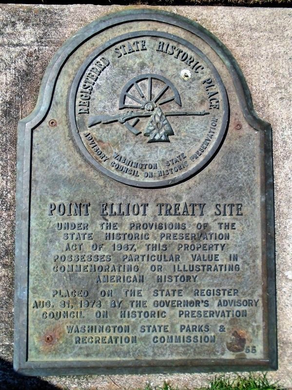
Point Elliot Treaty Site Marker
SHOWN IN SOURCE-SPECIFIED ORDER
1 ► Washington, Snohomish County, Mukilteo — 55 — Point Elliott Treaty — Mulkilteo Walking Tour Stop 2 — Registered State Historic Place —
Near Front Street.
Treaty of Point Elliott, 1855 On January 22, 1855, a treaty was negotiated between the United States Government and the Coast Salish tribes of this area. More than 2,000 Indians gathered here from throughout the Northern Puget Sound . . . — — Map (db m178806) HM
2 ► Washington, Snohomish County, Mukilteo — Treaty of Point Elliott — 1855 - 1930 —
On Lincoln Avenue at 3rd Street, on the right when traveling north on Lincoln Avenue.
At this place on January 22, 1855, Governor Isaac I. Stevens concluded the treaty by which the Indians ceded the lands from Point Pully to the British boundary. Of the one hundred signatures, eighty-two were by Indian chiefs, headmen . . . — — Map (db m135450) HM


CeraNet Cloud Computing sponsors the Historical Marker Database.
This website earns income from purchases you make after using our links to Amazon.com. We appreciate your support.
Paid Advertisement
Oct. 11, 2026
