2 entries match your criteria.
Related Historical Markers
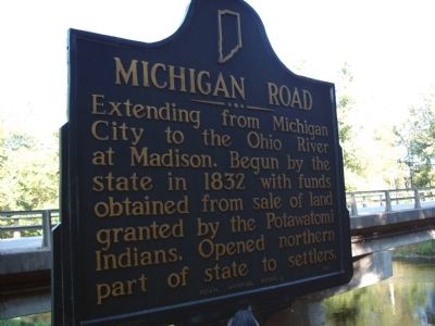
By Courtesy:: Carly C. Kindig, September 5, 2010
Obverse Side - - Michigan Road Marker
SHOWN IN SOURCE-SPECIFIED ORDER
1 ► Indiana, Fulton County, Rochester — 25.1949.1 — Michigan Road —  |
| Extending from Michigan City to the Ohio River at Madison. Begun by the state in 1832 with funds obtained from sale of land granted by the Potawatomi Indians. Opened northern part of state to settlers. — — Map (db m35346) HM | |||
| 2 ► Indiana, Fulton County, Rochester — Site of Indian Village Chippewa-Nung — Potawatomi - Trail of Death — |
| . . . — — Map (db m35347) HM | |||