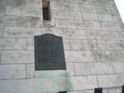
These related markers are all related to high strategic artillery locations used on Evacuation Day March 17, 1776 to drive the British from Boston Harbor and Back Bay.
These heights, commanding the harbor and town of Boston on the south, were seized and fortified by troops of the Continental Army and local militia under General John Thomas on the night of March 4, 1776. By this arduous night’s labor, and further . . . — — Map (db m295606) HM
On this eminence stood Roxbury High Fort a strong earth-work planned by Henry Knox and Josiah Waters and Erected by the American Army June 1775 - crowning the famous Roxbury lines of investment at the Siege of Boston — — Map (db m295492) WM
The British occupation of Boston ended in March of 1776 after Continental Army soldiers and cannons traveled along Dorchester Road, shown below, and occupied Dorchester Heights, shown just to the right. The artist who drew this scene, . . . — — Map (db m290513) HM
This tablet is placed by the Society of Sons of the Revolution in the Commonwealth of Massachusetts March 16, 1900 to mark the site of Nook Hill. During the Siege of Boston by the American Forces under General Washington an attempt was made on . . . — — Map (db m295543) HM