Elk Point in Union County, South Dakota — The American Midwest (Upper Plains)
A Land of Plenty
Photographed by Ruth VanSteenwyk, March 29, 2016
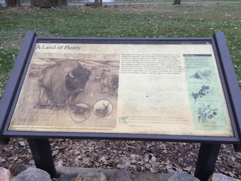
1. A Land of Plenty Marker
Beginning their journey on a diet of salt pork, lard with flour, and Indian mean (ground corn), Meriwether Lewis, William Clark, and the other members of the Corps of Discovery, went on to taste nearly everything the West had to offer - through necessity rather than choice. Wrestling their keelboat and pirogues up the Missouri River required tremendous physical effort - it also required up to nine pounds of meat per day for each soldier to maintain strength. Hunting quickly became an important duty. Here in the short-grass prairie of the High Plains, the abundance of buffalo, elk, deer, and wild fruit, led William Clark to call this region a "Land of Plenty."
Picture Title
The expedition killed its first buffalo (American bison) nearby on August 23, 1804. The party also found an abundance of elk and white-tailed deer in this region.
Inset Paragraph
Wild Fruit
The Corps of Discovery entered what is today South Dakota at a time when the wild fruit was ripening. Black raspberries, black currants, and wild plums soon became an important addition to the expedition's diet.
Black Raspberry (Rubus occidentalis)
Black
this page online
Wild Plum (Prunus americana)
Journal Entry
"I walked on Shore & Killed a fat Buck. J. Fields… informed that he had Killed a Buffalo in the plain a head… Elk swam the river, and was fired at from the boat. R. Fields came up with the Horses and brought two Deer one Deer killed from the boat…"
William Clark, August 23, 1804
Erected by Lewis and Clark National Historic Trail.
Topics and series. This historical marker is listed in this topic list: Exploration. In addition, it is included in the Lewis & Clark Expedition series list. A significant historical date for this entry is August 23, 1804.
Location. This marker has been replaced by another marker nearby. It was located near 42° 40.997′ N, 96° 41.609′ W. Marker was in Elk Point, South Dakota, in Union County. It could be reached from South Harrison Street ¼ mile south of West Jefferson Street. This marker is located with others to recognize the Lewis and Clark expedition camped here in this park. Touch for map. Marker was in this post office area: Elk Point SD 57025, United States of America. Touch for directions.

Regionally, this marker was in East River.
Photographed by Ruth VanSteenwyk, May 14, 2016
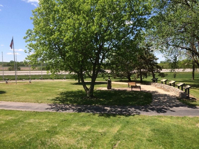
2. Lewis & Clark's Historical Markers
Other nearby markers. At least 8 other markers are within walking distance of this location: A different marker also named A Land of Plenty (here, next to this marker); U.S. Democracy Cross the Mississippi River (here, next to this marker); a different marker also named Entering an Uncertain Land (here, next to this marker); a different marker also named Return to "Elk Sign" Campsite (here, next to this marker); The Lewis and Clark Expedition (here, next to this marker); Patrick Gass (here, next to this marker); Flags of Elk Point (within shouting distance of this marker); Lewis & Clark Campsite / Eli Wixson Farm Site (about 300 feet away, measured in a direct line). Touch for a list and map of all markers in Elk Point.
Other markers no longer nearby. U.S. Democracy Crosses the Mississippi River
Photographed by Ruth VanSteenwyk, March 29, 2016
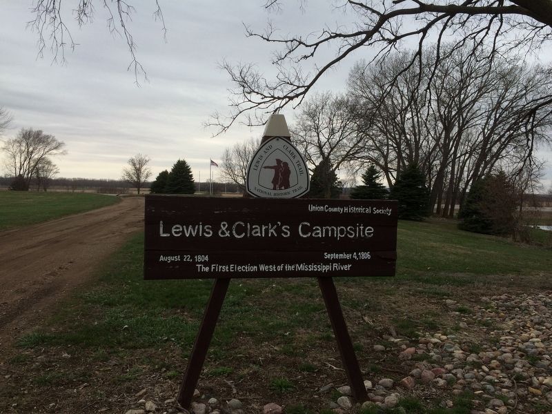
3. Lewis & Clark's Campsite Sign
Related markers. Click here for a list of markers that are related to this marker. To better understand the relationship, study each marker in the order shown.
Credits. This page was last revised on November 1, 2026. It was originally submitted on January 17, 2017, by Ruth VanSteenwyk of Aberdeen, South Dakota. This page has been viewed 683 times since then and 35 times this year. Photos: 1, 2, 3. submitted on January 17, 2017, by Ruth VanSteenwyk of Aberdeen, South Dakota. • Bill Pfingsten was the editor who published this page.
