2 entries match your criteria.
Related Historical Markers
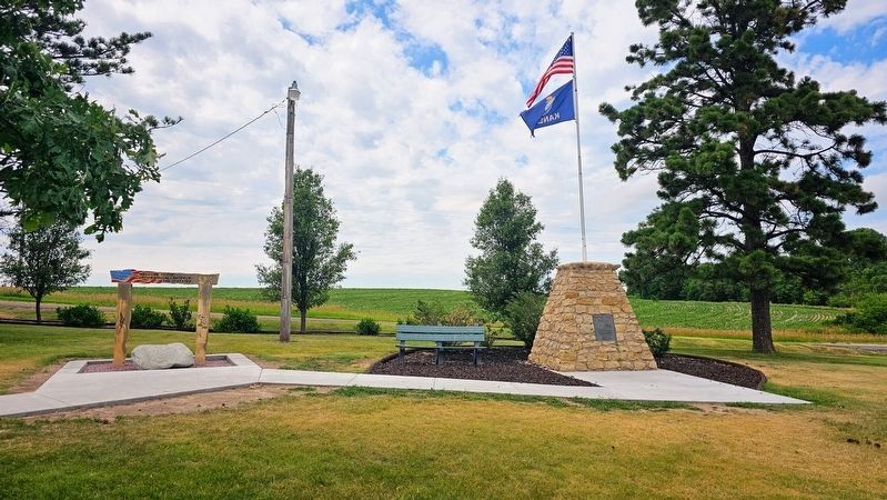
By Ian Lefkowitz, June 30, 2023
The Geographic Center of the United States Marker
SHOWN IN SOURCE-SPECIFIED ORDER
1 ► Kansas, Smith County, Lebanon — The Geographic Center of the United States — Lat. 39º 50' Long. 98º 35' — NE 1/4 - SE 1/4 - S32 - T2S - R 11 W —  |
| Located by L.T. Hagadorn of Paulette & Wilson - Engineers and L.A. Beardslee - County Engineer. From data furnished by U.S. Coast and Geodetic Survey. Dedicated April 25, 1940 — — Map (db m46587) HM | |||
| 2 ► Kansas, Smith County, Lebanon — 37 — The Geographic Center — |
| In a park three miles north and one mile west is the exact geographic center of the 48 contiguous states. The location has been officially established by the U.S. Geological Survey. It is the point where a plane map of the 48 states would balance . . . — — Map (db m71928) HM | |||