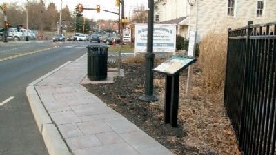
On March 4, 1681, Charles II granted William Penn a vast tract of land in the New World as payment for the debt the King owed Penn's father. The tract awarded to Penn included all of the land west of New Jersey, north of Maryland and south of New . . . — — Map (db m29833) HM
Washington Square (6.4 acres) is one of the original five squares laid out by William Penn and his surveyor Thomas Holme in the plan for the city of Philadelphia in 1682. First designated as Southeast Square, it was renamed Washington Square in 1825 . . . — — Map (db m9025) HM
William Penn learned many lessons in life. Living in 17th century England taught him that open space offered breathing places for great cities and also slowed the spread of fire.
He applied what he had learned to Philadelphia. He insisted on . . . — — Map (db m9028) HM