Woodbridge in Prince William County, Virginia — The American South (Mid-Atlantic)
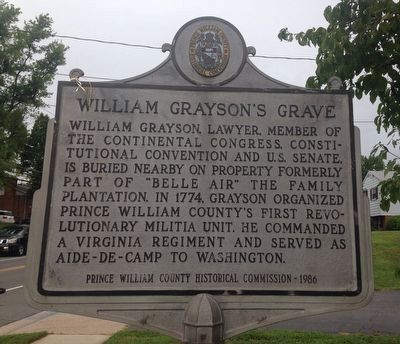
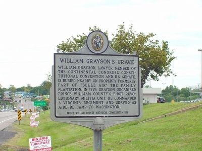
William Graysonís Grave
Erected 1986 by the Prince William County Historical Commission (relocated here in 2014). (Marker Number 5.)
Topics and series. This historical marker is listed in these topic lists: Cemeteries & Burial Sites • Patriots & Patriotism • War, US Revolutionary. In addition, it is included in the Virginia, Prince William County Historical Commission series list. A significant historical year for this entry is 1774.
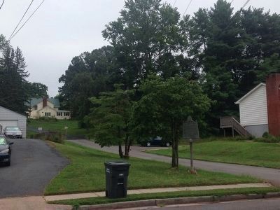
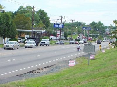
Location. 38° 38.853′ N, 77° 16.599′ W. Marker is in Woodbridge, Virginia, in Prince William County. Marker is on West Longview Drive north of Longview Drive, on the right when traveling north. Marker is down at street level in front of the Marumsco Shopping Center parking lot. Touch for map. Marker is at or near this postal address: 2338 West Longview Drive, Woodbridge VA 22191, United States of America. Touch for directions.
Other nearby markers. At least 5 other markers are within 2 miles of this marker, measured as the crow flies. Revolutionary Soldiers Spence and William Grayson (about 400 feet away, measured in a direct line); Spence and William Grayson (about 400 feet away); Old Telegraph Road (approx. 0.9 miles away); Old Bethel High School (approx. 1.7 miles away); Welcome to Occoquan Bay National Wildlife Refuge (approx. 1.8 miles away). Touch for a list and map of all markers in Woodbridge.
Also see . . . William Grayson. Page by Margaret L. Edwards on the Rootsweb website. (Submitted on December 18, 2006.)
Additional commentary.
1. William Grayson
The City of Grayson which is located in the northeastern part of Kentucky was named after Col. William Grayson. William Grayson's family owned a very large tract of land in Kentucky. The City of Grayson is now located on part of this land.
Col. William Grayson played a major role in forming the United States of American, but is not in our school's American history books. We don't know what William Grayson really looked like. We have seen two different pictures or drawings, but which picture is the right one? William Grayson wrote numerous letters, but the Library of Congress has not made a separate section for
them. Note To Editor only visible by Contributor and editor
— Submitted April 29, 2009, by Don Cooke of Grayson, Kentucky.
Photographed By Kevin W.
3. The Grayson Tomb
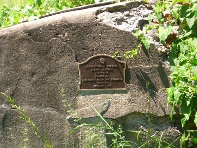
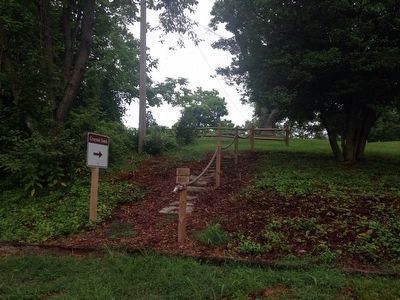
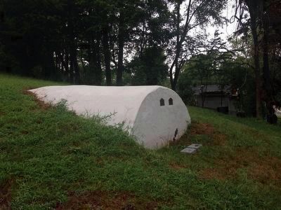
A Boy Scout Eagle project in 2014, with generous support from a private donor, repaired the tomb and provided public access to the tomb (see link). Compare this picture of the refurbished tomb with the next one. The deterioration showing in the 2006 image has been repaired and stabilized, and the tomb has been recovered in concrete.
Photographed By Paul Crumlish, August 27, 2009
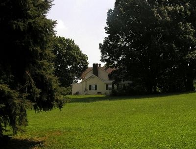
7. View of the Belle Air plantation site
Looking east across the site of the Belle Air plantation on one of the highest points in a Marumsco Hill subdivision. Belle Air plantation was burned during the Civil War. The core of the current structure is believed to be built on the remaining foundations of plantation house. The Grayson family tomb would be down the hill from the left side of the picture.
Credits. This page was last revised on December 26, 2019. It was originally submitted on December 18, 2006, by J. J. Prats of Powell, Ohio. This page has been viewed 8,196 times since then and 127 times this year. Photos: 1, 2, 3. submitted on August 10, 2015, by Kevin W. of Stafford, Virginia. 4. submitted on September 29, 2010, by James Paul Grayson of Frisco, Texas. 5, 6. submitted on December 18, 2006, by J. J. Prats of Powell, Ohio. 7. submitted on August 27, 2009, by PaulwC3 of Northern, Virginia. 8. submitted on August 10, 2015, by Kevin W. of Stafford, Virginia.
