Pensacola in Escambia County, Florida — The American South (South Atlantic)
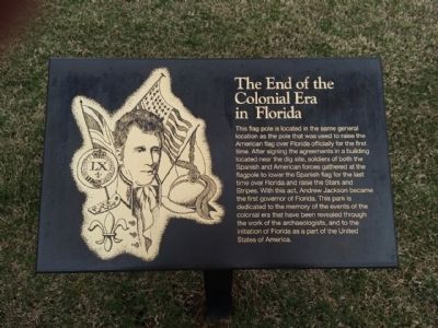
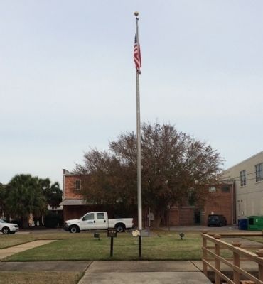
The End of the Colonial Era in Florida
Erected by the City of Pensacola, the University of West Florida & the Historic Pensacola Preservation Board.
Topics and series. This historical marker is listed in these topic lists: Colonial Era • Settlements & Settlers. In addition, it is included in the Former U.S. Presidents: #07 Andrew Jackson series list.
Location. Marker has been permanently removed. It was located near 30° 24.523′ N, 87° 12.766′ W. Marker was in Pensacola, Florida, in Escambia County. Marker could be reached from the intersection of East Zarragossa Street and South Jefferson Street. Located behind the Pensacola History Museum. Touch for map. Marker was at or near this postal address: 330 S Jefferson St, Pensacola FL 32502, United States of America.
We have been informed that this sign or monument is no longer there and will not be replaced. This page is an archival view of what was.
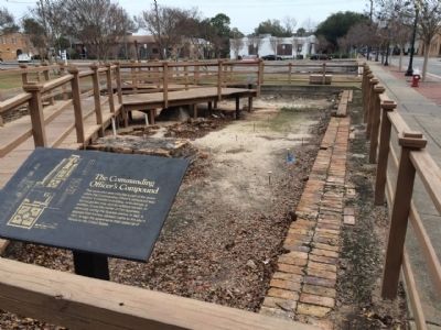
Other nearby markers. At least 8 other markers are within walking distance of this location. Stop and Smell the Roses (a few steps from this marker); Archaeology in Pensacola (a few steps from this marker); Transfer of Spanish Florida to the United States (a few steps from this marker); Commanding Officer's Compound (a few steps from this marker); American Period (a few steps from this marker); Wells and Cellars (a few steps from this marker); Colonial Cooking (a few steps from this marker); British Period (a few steps from this marker). Touch for a list and map of all markers in Pensacola.
Related marker. Click here for another marker that is related to this marker.
Also see . . .
1. History of Pensacola - Wikipedia article. (Submitted on January 7, 2015, by Mark Hilton of Montgomery, Alabama.)
2. The Colonial Archaeological Trail. (Submitted on January 7, 2015, by Mark Hilton of Montgomery, Alabama.)
Additional commentary.
1. Markers replaced with interpretive markers.
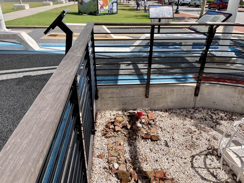
All the markers on this page have been replaced with newer interpretive markers, in some cases combining information and adding new information. The whole plaza has been renovated and no longer looks the same.
— Submitted October 9, 2021, by Mark Hilton of Montgomery, Alabama.
Credits. This page was last revised on October 9, 2021. It was originally submitted on January 7, 2015, by Mark Hilton of Montgomery, Alabama. This page has been viewed 597 times since then and 16 times this year. Photos: 1, 2, 3, 4. submitted on January 7, 2015, by Mark Hilton of Montgomery, Alabama. 5. submitted on October 9, 2021, by Mark Hilton of Montgomery, Alabama.
