2 entries match your criteria.
Related Historical Markers
By Mark Hilton, July 26, 2015
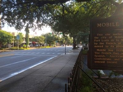
View from marker looking west on Government Street.
SHOWN IN SOURCE-SPECIFIED ORDER
| 1 ► Alabama, Mobile County, Mobile — Mobile City Limits — 1711 — |
| This site marks the southwestern limit of the city of Mobile in 1711. Known then as Fort Louis de la Mobile, it had been founded by the French at 27-Mile Bluff in 1702 and moved to its present site in 1711. Mobile has been a city under six . . . — — Map (db m131883) HM | |||
| 2 ► Alabama, Mobile County, Mobile — Mobile City Limits — 1711 — |
| At this point the northwest limits of French Mobile faded into the dense forest which surrounded the city in 1711 and many years thereafter. An 1815 map shows the forest reaching Joachim Street, one block west. — — Map (db m86348) HM | |||