
2 entries match your criteria.
Related Historical Markers
By Mark Hilton, July 26, 2015
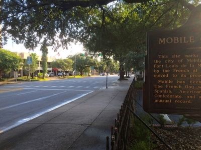
View from marker looking west on Government Street.
SHOWN IN SOURCE-SPECIFIED ORDER
1 ► Alabama, Mobile County, Mobile — Mobile City Limits — 1711 —  |
| This site marks the southwestern limit of the city of Mobile in 1711. Known then as Fort Louis de la Mobile, it had been founded by the French at 27-Mile Bluff in 1702 and moved to its present site in 1711. Mobile has been a city under six . . . — — Map (db m131883) HM | |||
| 2 ► Alabama, Mobile County, Mobile — Mobile City Limits — 1711 — |
| When Mobile was laid out, this was the city's north-east boundary point. Royal Street ran along a bluff overlooking the Mobile River. There were no streets between Royal and the river, only marshland. — — Map (db m86347) HM | |||