5 entries match your criteria.
Related Historical Markers
To better understand the relationship, study each marker in the order shown.
By Bill Coughlin, September 27, 2009
The Great Chain Marker 2
SHOWN IN SOURCE-SPECIFIED ORDER
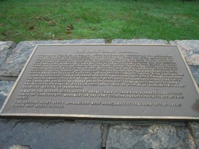
| | The Hudson River’s narrow width and sharp turns at West Point created adverse sailing conditions and prompted construction of a Great Chain in 1778 as an obstacle to the movement of British ships north of this point. American soldiers positioned the . . . — — Map (db m22201) HM |
| | Chaining the Hudson
Early in the Revolutionary War, the Continental Congress realized that if the British controlled the Hudson River, they could divide the rebellious colonies. To prevent this, in march 1776, the Americans began construction of . . . — — Map (db m37381) HM |
| | . . . — — Map (db m63297) HM |
| | Background The Americans and British both knew that passage on the Hudson River was strategically important. The Americans planned to block ship passage on the river and attack enemy ships with cannons and mortar located at defensive forts, and . . . — — Map (db m89095) HM |
| |
Hon. John M. Brown 1771-1823
First Historian Schoharie Co.
Capt. Thos. Machim, Engineer
Under Gen. Washington, And
Builder of the Great Chain.
— — Map (db m90308) HM |
May. 7, 2024