Cortlandt Manor in Westchester County, New York — The American Northeast (Mid-Atlantic)
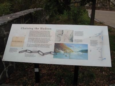
Chaining the Hudson
Lieutenant Thomas Machin, one of the Continental Army's most able engineers, directed the work on the forts and the chain. During two separate attempts, the chain quickly broke under the strain of the ebb tide. Convinced that the chain could still work, Machin had the damage repaired and successfully stretched it across the river in March 1777.
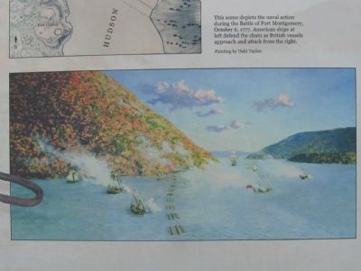
British ships never tested the chain. Rather, the British captured the forts on October 6, 1777 and cut the chain the following day. Today, Fort Montgomery State Historic Site is open to the public and interprets the story of the forts and battle.
Topics. This historical marker is listed in this topic list: War, US Revolutionary. A significant historical month for this entry is March 1776.
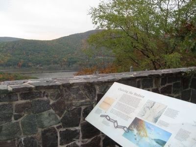
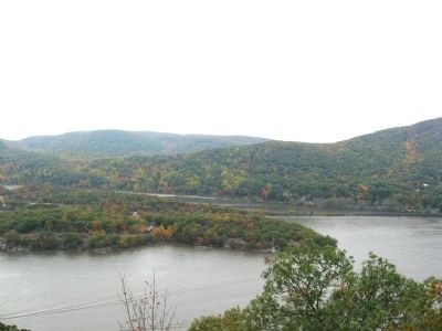
Location. 41° 18.709′ N, 73° 58.242′ W. Marker is in Cortlandt Manor, New York , in Westchester County. Marker is on Bear Mountain Bridge Road (U.S. 6) 2.3 miles north of Roa Hook Road, on the left when traveling north. Located in a scenic overlook with beautiful views of the Hudson River and surrounding hills. Touch for map. Marker is in this post office area: Cortlandt Manor NY 10567, United States of America. Touch for directions.
Other nearby markers. At least 8 other markers are within walking distance of this marker. Camp Smith (approx. 0.8 miles away); Walt Whitman (approx. one mile away); Stephen Tyng Mather (approx. one mile away); Bear Mt. Bridge (approx. one mile away); Anthonys Nose (approx. one mile away); Ancient Canyon (approx. one mile away); Railroads (approx. one mile away); Scenic Road (approx. one mile away).
Photographed By Michael Herrick, October 24, 2010
4. Detail from the Marker
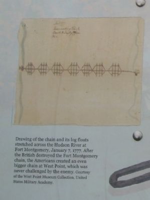
Drawing of the chain and its log floats stretched across the Hudson River at Fort Montgomery, January 7, 1777. After the British destroyed the Fort Montgomery chain, the Americans created an even bigger chain at West Point, which was never challenged by the enemy. Courtesy of the West Point Museum Collection, United States Military Academy.
Photographed By Michael Herrick, October 24, 2010
5. Detail from the Marker
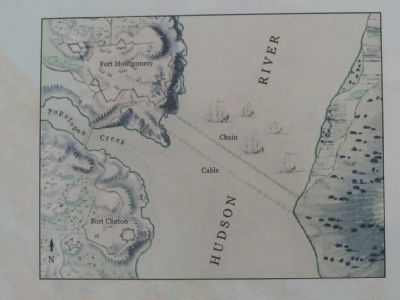
A plan of the Forts Montgomery and Clinton, by Major Holland, Surveyor General of the Northern District of North America, ca. 1777. The map shows the forts, the chain, and the small fleet of American ships that defended the Hudson when the British attacked. In July 1777, cables from the two American frigates were run across the river in front of the chain to help protect it. Library of Congress, Geography and map Division.
Photographed By Michael Herrick, October 24, 2010
7. Detail from the Marker
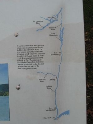
A portion of the Fort Montgomery chain was originally constructed to block the Richelieu River. It was carried far to the north only to return south when the American invasion of Canada failed in early 1776. The Americans considered using it at Fort Ticonderoga to block Lake Champlaign, but chose instead to return it to the Hudson River to become part of the Fort Montgomery chain.
Photographed By Michael Herrick, October 24, 2010
8. Detail from the Marker
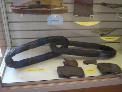
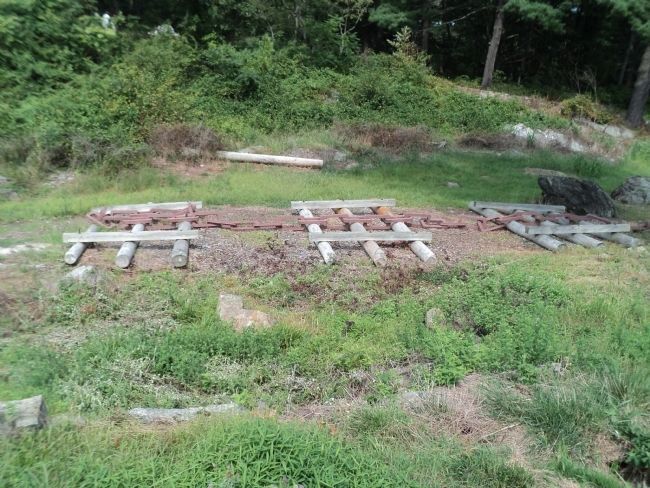
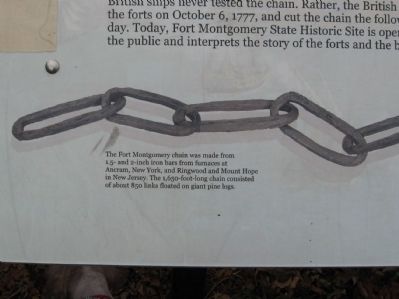
The Fort Montgomery chain was made from 1.5- and 2-inch iron bars from furnaces at Ancram, New York, and Ringwood and Mount Hope in New Jersey. The 1,650-foot-long chain consisted of about 850 links floated on giant pine logs.
Credits. This page was last revised on June 16, 2016. It was originally submitted on October 30, 2010, by Michael Herrick of Southbury, Connecticut. This page has been viewed 1,436 times since then and 43 times this year. Photos: 1. submitted on October 30, 2010, by Michael Herrick of Southbury, Connecticut. 2. submitted on July 11, 2011, by Bill Coughlin of Woodland Park, New Jersey. 3, 4, 5, 6, 7, 8, 9, 10. submitted on October 30, 2010, by Michael Herrick of Southbury, Connecticut. 11. submitted on July 11, 2011, by Bill Coughlin of Woodland Park, New Jersey. 12. submitted on September 3, 2012, by Bill Coughlin of Woodland Park, New Jersey.
