5 entries match your criteria.
Historical Markers in Peace River, British Columbia
By Gerald Lapp, June 11, 2019
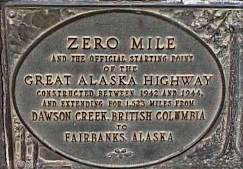
Alaska Highway - additional marker
| On Alaska Ave (National Highway 2) near 8th Street, in the median. |
| Near Canyon Drive, 0.5 kilometers east of Ski Hill Road, on the left when traveling east. |
| On John Hart Highway (Provincial Highway 97) 0.2 kilometers west of 223 Road, on the left when traveling west. |
| On Alaska Highway (Provincial Highway 97) 0.6 kilometers north of Pingel Creek Road, on the right when traveling north. |
| On Don Phillips Way (Provincial Highway 29) 0.8 kilometers west of Heritage Highway (Provincial Highway 52), on the left when traveling west. |
May. 3, 2024