
Dawson Creek in Peace River, British Columbia — Canada’s West Coast (North America)
Alaska Highway
Completed in 1942
⎯⎯⎯
La Route De L’Alaska
Terminé en 1942
| — | International Historic Civil Engineering Landmark / Monument Historique International du Génie Civil | — |
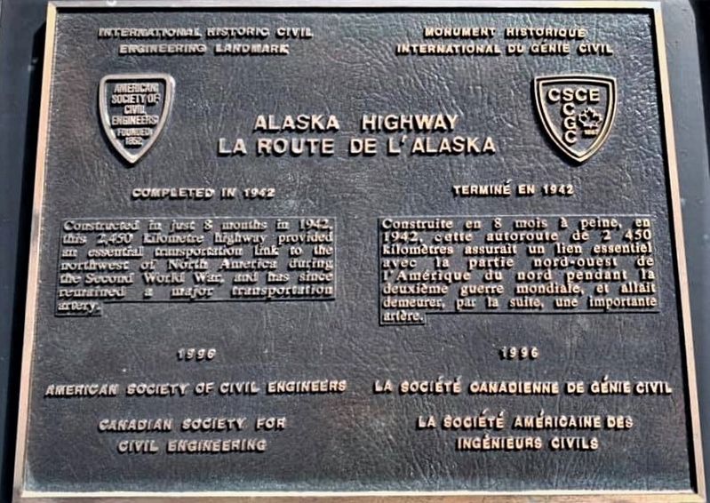
Photographed by Gerald Lapp, June 11, 2019
1. Alaska Highway Marker

Erected 1996 by American Society of Civil Engineers, Canadian Society for Civil Engineering.
Topics and series. This historical marker is listed in this topic list: Roads & Vehicles. In addition, it is included in the ASCE Civil Engineering Landmarks series list.
Location. 55° 45.533′ N, 120° 13.505′ W. Marker is in Dawson Creek, British Columbia, in Peace River. It is on Alaska Ave (National Highway 2) near 8th Street, in the median. Marker is in Mile 0 Alaska Highway Park. Touch for map. Marker is at or near this postal address: 800 Highway 2, Dawson Creek BC V1G 3V8, Canada.
this page online

Regionally, this marker is in Northern BC. Globally, it is in North America, on the Ring of Fire, in the Pacific Rim, in the Western Hemisphere, in the Western World, and in the Anglosphere. Historically, it finds itself in what was once a British colony.
Other nearby markers. At least one other marker is within 6 kilometers of this marker, measured as the crow flies: Dawson Creek (approx. 5.1 kilometers away).
Related marker. Click here for another marker that is related to this marker.
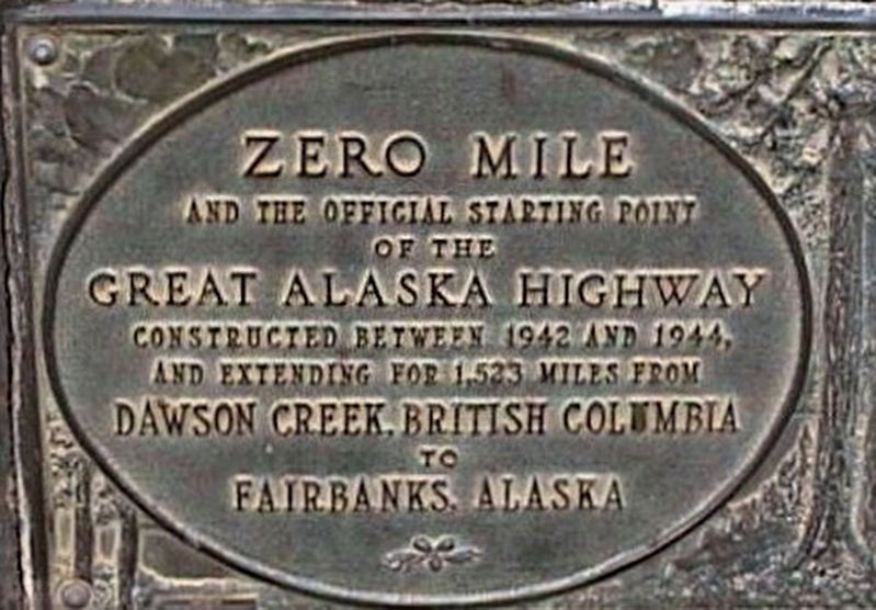
Photographed by Gerald Lapp, June 11, 2019
2. Alaska Highway - additional marker
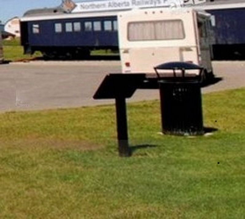
Photographed by Gerald Lapp, June 11, 2019
3. Alaska Highway Marker
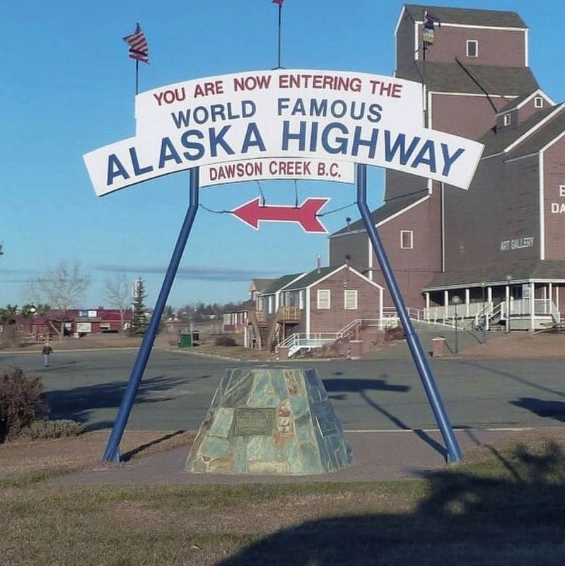
Photographed by Gerald Lapp, June 11, 2019
4. Alaska Highway - additional marker - full view
Credits. This page was last revised on September 1, 2024. It was originally submitted on June 13, 2019, by Rev. Ronald Irick of West Liberty, Ohio. This page has been viewed 397 times since then and 40 times this year. Photos: 1, 2, 3, 4. submitted on June 13, 2019, by Rev. Ronald Irick of West Liberty, Ohio. • Andrew Ruppenstein was the editor who published this page.
