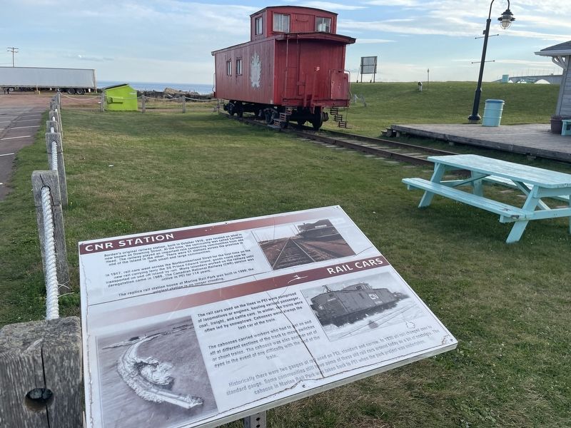
CNR Station
Borden's original railway station, built in October 1916, was located on what is now known as Downing Street. At the time, the community was called Carleton Head. The railway played an important role connecting communities from . . . — — Map (db m309717) HM
Confederation Bridge
The Confederation Bridge joins Prince Edward Island to New Brunswick; it is 12.9 km long and is the longest bridge in the world over ice covered water.
The bridge is one of Canada's top engineering achievements of the . . . — — Map (db m309639) HM
Ice Boats
The ferry service to PEI had a very illustrious history. The service began with iceboats from Capte Traverse PEI. The Ice boats started in 1827 and the crossing was twelve miles. The cost at the tie was $5.00. If you were a male . . . — — Map (db m309738) HM
Tryon United Church
Developed in the late Middle Ages as a building form primarily for stone, Gothic architecture was revived and reworked in the 19th and early 20th centuries. Some of its most charming expressions in Canada's . . . — — Map (db m310241) HM