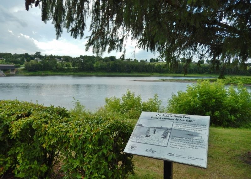
On Main Street (Route 105) at Maple Street, on the right when traveling south on Main Street.
(English:) Historic salmon harvesting area of First Nations People and Loyalists. In the first half of the 20th century, the pool became internationally renowned as a sport fisherman's paradise.
(Français:) Zone . . . — — Map (db m138996) HM
Near Main Street (Route 105) north of Hartland Hill Bridge Road, on the right when traveling south.
Named on June 24, 1604 – the feast day of St. John the Baptist – during the expedition of Sieur de Monts and Samuel de Champlain the river originates in northern Maine and flows 673 kilometers emptying into the Bay of Fundy at Saint . . . — — Map (db m138997) HM
Near Main Street (Route 105) south of Mill Street, on the right when traveling south.
• Settled 1802 by William Orser United Empire Loyalist near where the Becaguimac Stream flows into the St. John River
• Originally known as Mouth of the Becaguimac
• Becaguimac — Abekaquimek — Maliseet for salmon bed
• . . . — — Map (db m138999) HM