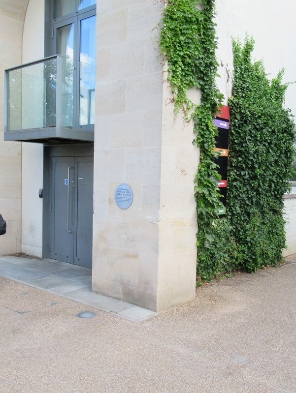
By Michael Herrick, August 8, 2018
Archaeology, the Castle Ditch Marker
| Near New Road at Oxford Castle, on the left when traveling west. |
| On Park End Street at Worcester Street, on the right when traveling west on Park End Street. |
| On Beaumont Street at Walton Street, on the right when traveling west on Beaumont Street. |
| Near St Aldate’s (England Route A420) at Rose Place, on the left when traveling south. |
| On St Aldate’s (England Route A420) at Rose Place, on the right when traveling north on St Aldate’s. |
| On Cornmarket Street at Market Street, on the left when traveling south on Cornmarket Street. |
| On High Street at Turl Street, on the right when traveling east on High Street. |
| On St Aldate's (England Route A420) close to Blue Boar Street, on the right when traveling north. |
| On Hythe Bridge Street at Upper Fisher Row, on the right when traveling east on Hythe Bridge Street. |
| On New Road at Worcester Street, on the right when traveling west on New Road. |
| Near New Road at Oxford Castle, on the left when traveling west. |
| On New Road at Oxford Castle, on the left when traveling west on New Road. |
| On New Road close to Oxford Castle, on the left when traveling west. |
| On Magdalen Street at Beaumont Street, on the right when traveling north on Magdalen Street. |
| On St Giles’ at Little Clarendon Street, on the right when traveling north on St Giles’. |
| On New Road at Oxford Castle, on the left when traveling west on New Road. |
| On Park End Street at Worcester Street, on the right when traveling west on Park End Street. |
| Near New Road at Oxford Castle, on the left when traveling west. |
| Near New Road at Oxford Castle, on the left when traveling west. |
| Near New Road at Oxford Castle, on the left when traveling west. |
| On Catte Street at New College Lane, on the right when traveling south on Catte Street. |
| Near St Aldate's (England Route A420) close to Pembroke Square, on the left when traveling north. |
| On St Giles' at Pusey Street, on the right when traveling north on St Giles'. |
| Near Cornmarket Street at Queen Street, on the left when traveling north. |
| On High Street at Catte Street, on the left when traveling east on High Street. |
| On High Street at King Edward Street, on the right when traveling east on High Street. |
| Near New Road at Oxford Castle, on the left when traveling west. |
| Near New Road at Oxford Castle, on the left when traveling west. |
| On Cowley Place at The Plain, on the right when traveling north on Cowley Place. |
| On St Aldate's (England Route A420) at Blue Boar Street, on the right when traveling north on St Aldate's. |
| On New Inn Hall Street at Queen Street, on the left when traveling north on New Inn Hall Street. |
| Near New Road close to Oxford Castle, on the left when traveling west. |
| On Cowley Place at The Plain, on the left when traveling north on Cowley Place. |
| On Beaumont Street at St Giles’ (England Route A4414), on the right when traveling east on Beaumont Street. |
