3 entries match your criteria.
Related Historical Markers
To better understand the relationship, see markers
By Mike Stroud, 2008
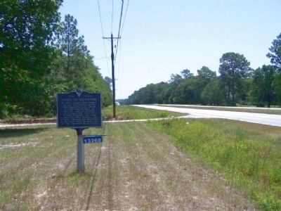
Town of Ellenton Marker, looking east on SC 64
SHOWN IN SOURCE-SPECIFIED ORDER
| On Dunbarton Boulevard (State Highway 64), on the right when traveling west. |
| | By 1873, a post office named Ellentown was located on the Port Royal Railroad, about 20 miles W. of here. In 1880, the town of Ellenton was incorporated. According to local tradition, the town was named for Ellen Dunbar, a local resident. Ellenton . . . — — Map (db m8495) HM |
| On Atomic Road (State Highway 125) near Government 3, on the right when traveling south. |
| |
Post office est. here 1873. Town chartered 1880. Ellenton and surrounding area purchased by US Govt in early 1950s for establishment of Savannah River Plant. — — Map (db m9910) HM |
| On South Main Street (State Highway 19) near Williston Road (U.S. 278), on the right when traveling east. |
| |
The Savannah River Plant (SRP) was built 1950–56 by Du Pont for the Atomic Energy Commission. SRP, a nuclear production plant, produced tritium and plutonium for national defense during the Cold War. Creating a 310-sq.-mi. site in three . . . — — Map (db m9941) HM |
May. 7, 2024