2 entries match your criteria.
Related Historical Markers
By Cosmos Mariner, July 13, 2007
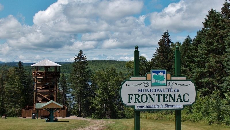
Municipality of Frontenac Observation Tower
SHOWN IN SOURCE-SPECIFIED ORDER
| Near Québec Route 161, 8.8 kilometers south of Rue Salabery, on the right when traveling south. |
| | In 2003, a group of scientists from the University of Montreal discovered typical Paleo-Indian artefacts in the municipality of Frontenac. This very discovery propelled the region to the foreground of archaeological history in the Province of . . . — — Map (db m102395) HM |
| Near U.S. 201, 8 miles north of Donigan Road, on the left when traveling north. |
| |
This tablet marks the place where Colonel Benedict Arnold with his soldiers left the Kennebec River October 1775 and marched from the west shore in a north-westerly direction to Dead River on their way to Quebec.
— — Map (db m102371) HM |
May. 21, 2024