Near Bingham in Somerset County, Maine — The American Northeast (New England)
Benedict Arnold 1775 Kennebec River Crossing
Inscription.
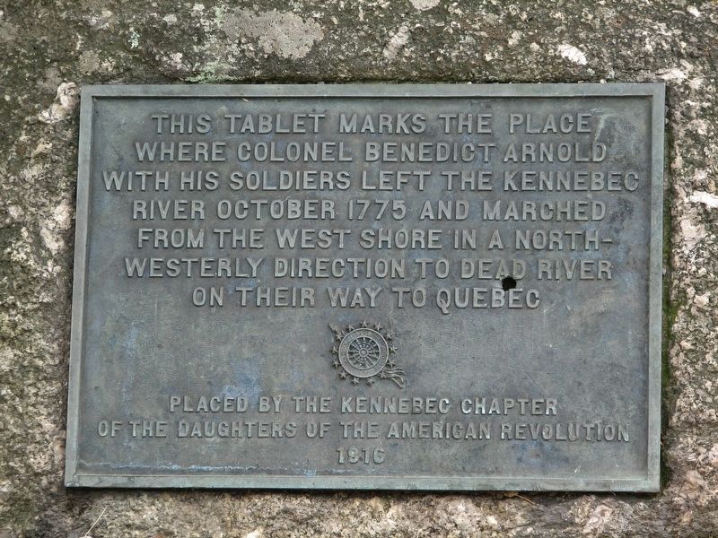
This tablet marks the place where Colonel Benedict Arnold with his soldiers left the Kennebec River October 1775 and marched from the west shore in a north-westerly direction to Dead River on their way to Quebec.
Erected 1916 by Kennebec Chapter of the Daughters of the American Revolution.
Topics and series. This historical marker is listed in these topic lists: Native Americans • War, US Revolutionary • Waterways & Vessels. In addition, it is included in the Daughters of the American Revolution series list. A significant historical month for this entry is October 1775.
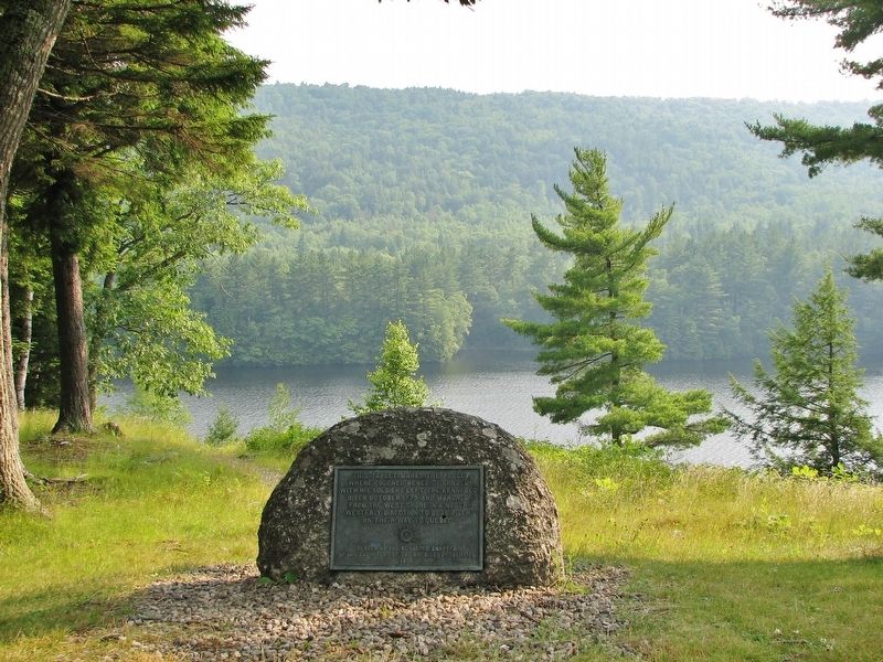
Location. 45° 9.348′ N, 69° 57.367′ W. Marker is near Bingham, Maine, in Somerset County. Marker can be reached from U.S. 201, 8 miles north of Donigan Road, on the left when traveling north. Marker overlooks the Kennebec River from within the Wyman Lake rest area. Touch for map. Marker is in this post office area: Bingham ME 04920, United States of America. Touch for directions.
Also see . . .
1. Arnold's Trail.
In 1775 Washington appointed Arnold commander of an expedition against Quebec. He advanced by way of the Kennebec River over the mountains of Maine, with a force of eleven hundred men. These men were hunters and Indian fighters. They knew how to procure food from the forests and fish from the rivers and how to manage birch bark canoes. Their clothes were made of deer skins. Each man carried a rifle, a long knife, a small axe and a tomahawk. They assembled at Prospect Hills, Mass., September 11th, 1775, and sailed from Newburyport on the Merrimac River, on the afternoon of September 19th, 1775. There were ten schooners and sloops. After a smooth voyage, they entered the mouth of the Kennebec one morning a little after sunrise... (Submitted on March 29, 2017, by Cosmos Mariner of Cape Canaveral, Florida.)
2. Caratunk.
In 1775, Benedict Arnold’s expedition to Quebec crossed the Kennebec river in the south of Caratunk near Gates Hill from the east side to the west in Carrying Place Township. The steep descent from what is now U.S. Route 201 stops at the higher water level created by the Wyman Dam. Across the Kennebec Arnold’s Expedition entered the Great Carrying Place. (Submitted on March 29, 2017, by Cosmos Mariner of Cape Canaveral, Florida.)
3. The Trail of a Failed Hero.
The only traces of the Arnold Trail come in the occasional explanatory panels put up in roadside rest areas, a few stone markers placed by the Daughters of the American Revolution and a rare shop or hotel bearing its name... The toughest part is the Great Carry north of Bingham, where Arnold's men hauled their bateaux up an unbelievable grade to cross from the Kennebec to the Dead River... (Submitted on March 29, 2017, by Cosmos Mariner of Cape Canaveral, Florida.)
Credits. This page was last revised on March 30, 2017. It was originally submitted on March 29, 2017, by Cosmos Mariner of Cape Canaveral, Florida. This page has been viewed 830 times since then and 102 times this year. Photos: 1, 2, 3. submitted on March 29, 2017, by Cosmos Mariner of Cape Canaveral, Florida. • Bill Pfingsten was the editor who published this page.


