3 entries match your criteria.
Related Historical Markers
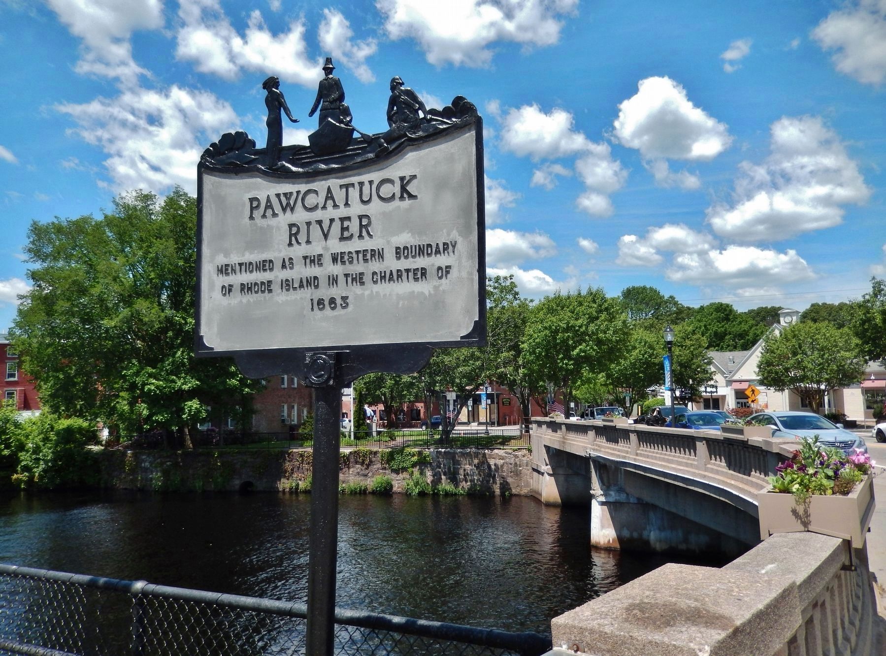
Pawcatuck River Bridge
By Cosmos Mariner, June 14, 2017
Pawcatuck River Marker (wide view; looking west across Pawcatuck River Bridge to Connecticut)
SHOWN IN SOURCE-SPECIFIED ORDER
| On Broad Street (U.S. 1), on the right when traveling east. |
| | Pawcatuck River mentioned as the western boundary of Rhode Island in the charter of 1663 — — Map (db m115173) HM |
| On Broad Street (U.S. 1), on the right when traveling east. |
| | Near this spot was the ford or Indian trail used until the building of the first bridge over Pawcatuck River about 1712. — — Map (db m115172) HM |
| On West Broad Street (U.S. 1) east of Coggswell Street, on the right when traveling east. |
| |
First built about 1712
Subsequently rebuilt in
1734 • 1795 • 1811
1858 • 1885
— — Map (db m115170) HM |
May. 5, 2024