2 entries match your criteria.
Related Historical Markers

By Cosmos Mariner, June 4, 2013
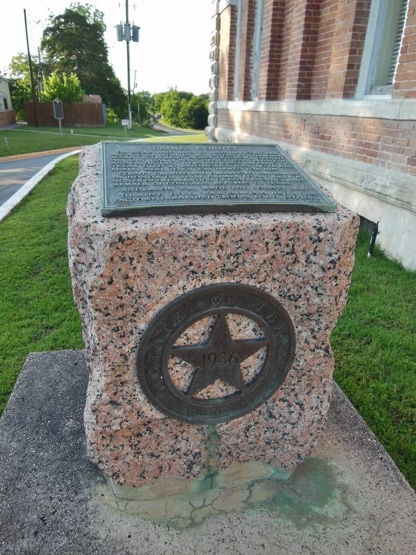
Grimes County Marker (tall view)
SHOWN IN SOURCE-SPECIFIED ORDER
| On South Main Street (Loop State Highway 429) at West Buffington Avenue, on the left when traveling south on South Main Street. |
| |
On road used 1690 by Spanish explorer Alonso de Leon. In 1821 Andrew Millican began settlement. Henry Fanthorp opened his inn 1834, a post office 1835. Kenneth Anderson, last Vice-President, Republic of Texas, died at Fanthorp's, 1845. After his . . . — — Map (db m118977) HM |
| On South Main Street (Loop State Highway 429) at Buffington Avenue, on the right when traveling south on South Main Street. |
| |
Civil War military concentration point for troops and ordnance. Rich farm land.
By 1861 densely populated. Favored secession by 907 to 9 vote. Sent 5 cavalry, 4 infantry companies to Confederate Army.
Arms and ordnance works at Anderson . . . — — Map (db m118976) HM |
May. 3, 2024
